Distance to Williamstown, Kansas

Calculating Your Route
Just a moment while we process your request...
Location Information
-
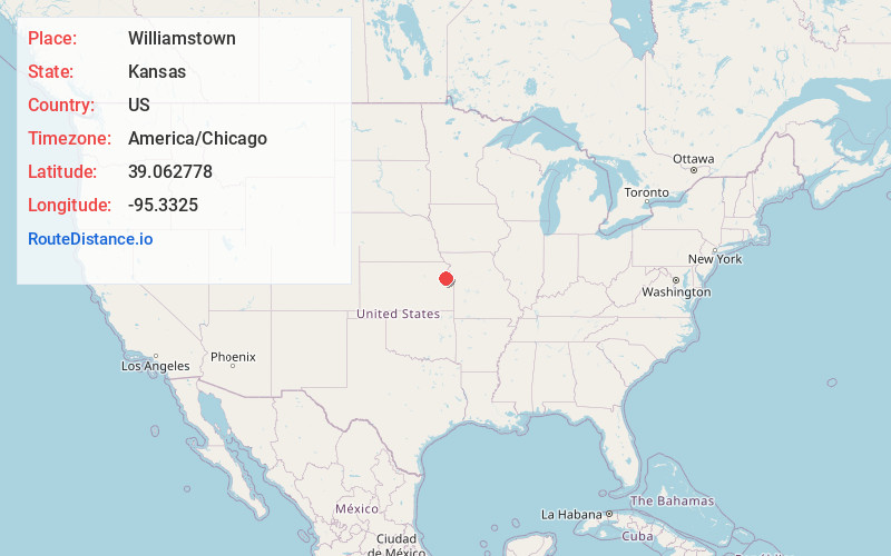
Full AddressWilliamstown, KS 66073
-
Coordinates39.062778, -95.3325
-
LocationWilliamstown , Kansas , US
-
TimezoneAmerica/Chicago
-
Current Local Time8:15:29 PM America/ChicagoSunday, June 22, 2025
-
Page Views0
About Williamstown
Williamstown is a census-designated place in southeastern Jefferson County, Kansas, United States. As of the 2020 census, the population was 96. It is located south of the junction of US-24 and US-59.
Nearby Places
Found 10 places within 50 miles

Perry
3.4 mi
5.5 km
Perry, KS 66073
Get directions

Lecompton
3.6 mi
5.8 km
Lecompton, KS 66050
Get directions

Lawrence
8.2 mi
13.2 km
Lawrence, KS
Get directions

Oskaloosa
10.6 mi
17.1 km
Oskaloosa, KS 66066
Get directions

McLouth
11.4 mi
18.3 km
McLouth, KS 66054
Get directions
Grantville
12.4 mi
20.0 km
Grantville, KS 66429
Get directions

Tecumseh
13.5 mi
21.7 km
Tecumseh, KS
Get directions

Tonganoxie
13.5 mi
21.7 km
Tonganoxie, KS 66086
Get directions

Ozawkie
13.8 mi
22.2 km
Ozawkie, KS
Get directions

Eudora
15.0 mi
24.1 km
Eudora, KS 66025
Get directions
Location Links
Local Weather
Weather Information
Coming soon!
Location Map
Static map view of Williamstown, Kansas
Browse Places by Distance
Places within specific distances from Williamstown
Short Distances
Long Distances
Click any distance to see all places within that range from Williamstown. Distances shown in miles (1 mile ≈ 1.61 kilometers).