Distance to Williford, Florida

Calculating Your Route
Just a moment while we process your request...
Location Information
-
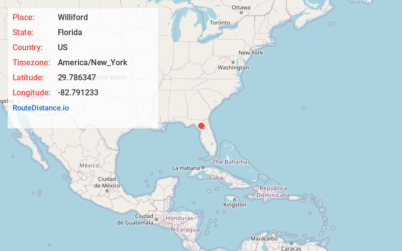
Full AddressWilliford, FL 32643
-
Coordinates29.7863471, -82.7912329
-
LocationWilliford , Florida , US
-
TimezoneAmerica/New_York
-
Current Local Time2:03:19 PM America/New_YorkWednesday, June 18, 2025
-
Page Views0
About Williford
Williford was a siding of the Seaboard Air Line Railroad in Gilchrist County, Florida, United States. It was located approximately 5 miles northeast of Bell, and 2 miles west of Craggs.
Nearby Places
Found 10 places within 50 miles

Bell
4.8 mi
7.7 km
Bell, FL 32619
Get directions

Wannee
10.1 mi
16.3 km
Wannee, FL 32619
Get directions

Fort White
10.5 mi
16.9 km
Fort White, FL 32038
Get directions

High Springs
12.0 mi
19.3 km
High Springs, FL
Get directions

Trenton
12.1 mi
19.5 km
Trenton, FL 32693
Get directions

Branford
14.5 mi
23.3 km
Branford, FL
Get directions

Newberry
14.7 mi
23.7 km
Newberry, FL
Get directions

Fanning Springs
15.9 mi
25.6 km
Fanning Springs, FL 32693
Get directions

Alachua
17.8 mi
28.6 km
Alachua, FL
Get directions
Andrews
18.7 mi
30.1 km
Andrews, FL
Get directions
Location Links
Local Weather
Weather Information
Coming soon!
Location Map
Static map view of Williford, Florida
Browse Places by Distance
Places within specific distances from Williford
Short Distances
Long Distances
Click any distance to see all places within that range from Williford. Distances shown in miles (1 mile ≈ 1.61 kilometers).