Distance to Wilson, Arkansas

Calculating Your Route
Just a moment while we process your request...
Location Information
-
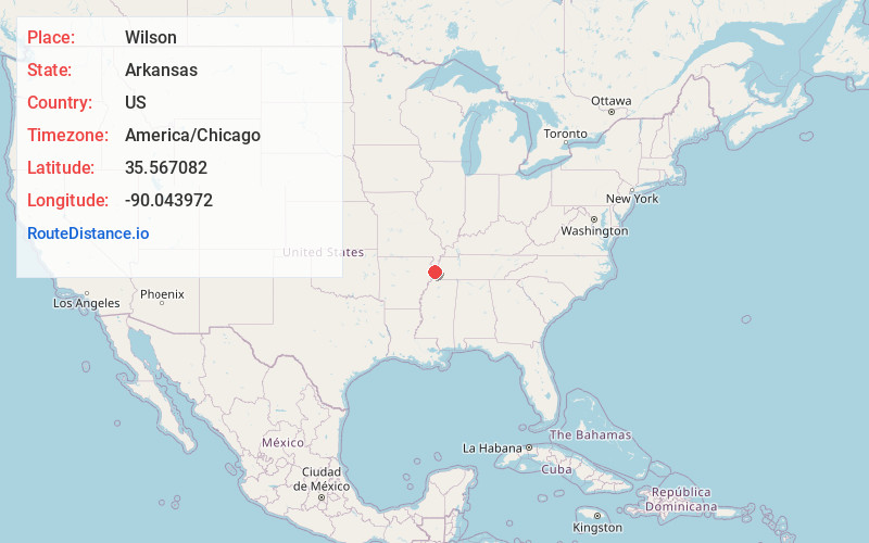
Full AddressWilson, AR 72395
-
Coordinates35.5670818, -90.0439721
-
LocationWilson , Arkansas , US
-
TimezoneAmerica/Chicago
-
Current Local Time6:31:21 PM America/ChicagoWednesday, May 21, 2025
-
Page Views0
About Wilson
Wilson is a city in Mississippi County, Arkansas, United States. The community is located in the Arkansas Delta and is surrounded by fertile cropland historically used to produce cotton. Wilson started as a company town in 1886 by Robert E. Lee Wilson, who would build a cotton empire and run it from the city.


Nearby Places
Found 10 places within 50 miles

Osceola
10.3 mi
16.6 km
Osceola, AR 72370
Get directions

Munford
15.7 mi
25.3 km
Munford, TN
Get directions

Lepanto
16.4 mi
26.4 km
Lepanto, AR
Get directions

Atoka
17.4 mi
28.0 km
Atoka, TN
Get directions

Millington
17.6 mi
28.3 km
Millington, TN 38053
Get directions

Brighton
18.1 mi
29.1 km
Brighton, TN
Get directions

Caraway
20.5 mi
33.0 km
Caraway, AR
Get directions

Marked Tree
21.3 mi
34.3 km
Marked Tree, AR
Get directions

Covington
22.3 mi
35.9 km
Covington, TN
Get directions

Manila
22.7 mi
36.5 km
Manila, AR 72442
Get directions
Location Links
Local Weather
Weather Information
Coming soon!
Location Map
Static map view of Wilson, Arkansas
Browse Places by Distance
Places within specific distances from Wilson
Short Distances
Long Distances
Click any distance to see all places within that range from Wilson. Distances shown in miles (1 mile ≈ 1.61 kilometers).