Distance to Wilsondale, West Virginia

Calculating Your Route
Just a moment while we process your request...
Location Information
-
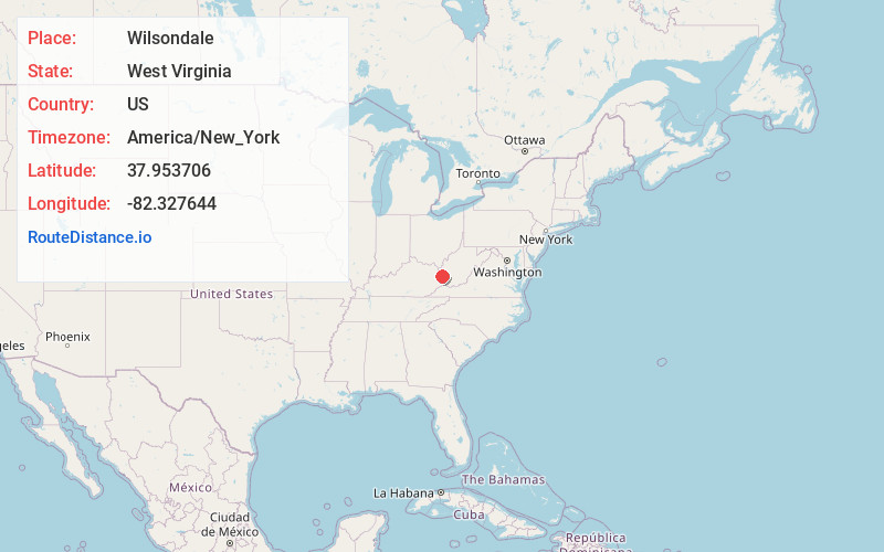
Full AddressWilsondale, WV 25699
-
Coordinates37.9537061, -82.3276443
-
LocationWilsondale , West Virginia , US
-
TimezoneAmerica/New_York
-
Current Local Time2:39:08 AM America/New_YorkMonday, June 9, 2025
-
Page Views0
About Wilsondale
Wilsondale is an unincorporated community located in southern Wayne County, West Virginia, United States. Wilsondale has a post office with ZIP code 25699; as of the 2000 Census, the population of this ZIP Code Tabulation Area was 74. It is a part of the Huntington-Ashland, WV-KY-OH, Metropolitan Statistical Area.
Nearby Places
Found 10 places within 50 miles

Kirk
6.2 mi
10.0 km
Kirk, WV 25671
Get directions
Crum
7.3 mi
11.7 km
Crum, WV 25669
Get directions
Dunlow
7.4 mi
11.9 km
Dunlow, WV 25511
Get directions
Stepptown
7.9 mi
12.7 km
Stepptown, WV 25674
Get directions
Webb
8.5 mi
13.7 km
Webb, WV 25669
Get directions

Kermit
8.8 mi
14.2 km
Kermit, WV 25674
Get directions
Warfield
9.0 mi
14.5 km
Warfield, KY
Get directions
Cove Gap
10.6 mi
17.1 km
Cove Gap, WV 25534
Get directions
Pilgrim
11.8 mi
19.0 km
Pilgrim, KY 41231
Get directions
Harts
12.1 mi
19.5 km
Harts, WV
Get directions
Location Links
Local Weather
Weather Information
Coming soon!
Location Map
Static map view of Wilsondale, West Virginia
Browse Places by Distance
Places within specific distances from Wilsondale
Short Distances
Long Distances
Click any distance to see all places within that range from Wilsondale. Distances shown in miles (1 mile ≈ 1.61 kilometers).