Distance to Winchester, Nevada

Calculating Your Route
Just a moment while we process your request...
Location Information
-
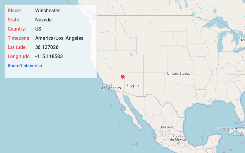
Full AddressWinchester, NV
-
Coordinates36.1370261, -115.1185825
-
LocationWinchester , Nevada , US
-
TimezoneAmerica/Los_Angeles
-
Current Local Time4:13:21 AM America/Los_AngelesMonday, June 16, 2025
-
Page Views0
About Winchester
Winchester is an unincorporated town and census-designated place in Clark County, Nevada, United States that contains part of the Las Vegas Strip. It is one of a number of CDPs in the unincorporated urbanized area directly south of Las Vegas. The population was 36,403 at the 2020 census.


Nearby Places
Found 8 places within 50 miles

Las Vegas
2.6 mi
4.2 km
Las Vegas, NV
Get directions

Paradise
3.2 mi
5.1 km
Paradise, NV
Get directions

Whitney
5.2 mi
8.4 km
Whitney, NV
Get directions

Sunrise Manor
5.7 mi
9.2 km
Sunrise Manor, NV
Get directions

Spring Valley
7.3 mi
11.7 km
Spring Valley, NV
Get directions

Henderson
10.2 mi
16.4 km
Henderson, NV
Get directions

Enterprise
10.3 mi
16.6 km
Enterprise, NV
Get directions

Pahrump
48.5 mi
78.1 km
Pahrump, NV
Get directions
Location Links
Local Weather
Weather Information
Coming soon!
Location Map
Static map view of Winchester, Nevada
Browse Places by Distance
Places within specific distances from Winchester
Short Distances
Long Distances
Click any distance to see all places within that range from Winchester. Distances shown in miles (1 mile ≈ 1.61 kilometers).