Distance to Windhorst, Kansas

Calculating Your Route
Just a moment while we process your request...
Location Information
-
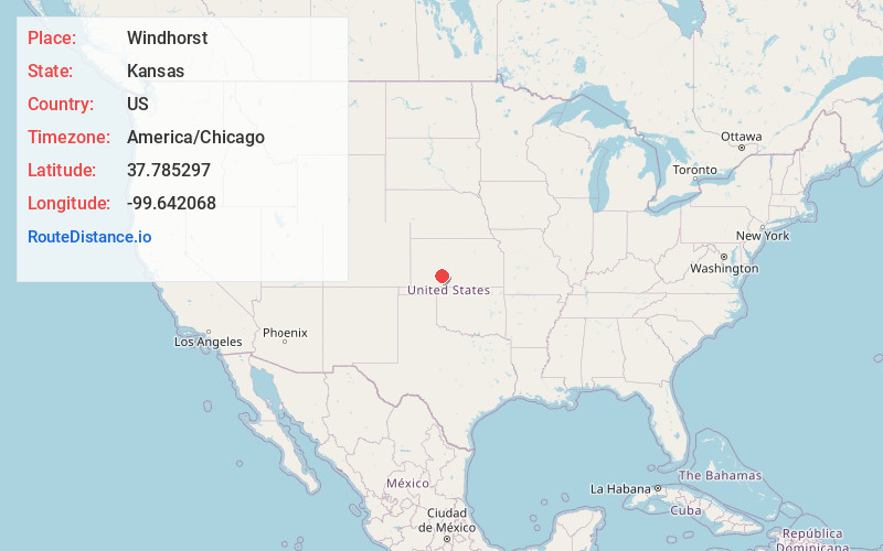
Full AddressWindhorst, KS 67876
-
Coordinates37.7852965, -99.6420679
-
LocationWindhorst , Kansas , US
-
TimezoneAmerica/Chicago
-
Current Local Time10:58:48 AM America/ChicagoThursday, June 19, 2025
-
Page Views0
About Windhorst
Windhorst is an unincorporated community in Ford County, Kansas, United States. It is located along 131 Spur Rd between Iron Rd and Jewell Rd in a rural area between the communities of Bellefont and Bucklin, approximately 6 miles south of Bellefont or 15 miles north of Bucklin.
Nearby Places
Found 10 places within 50 miles

Trenton Township
7.1 mi
11.4 km
Trenton Township, KS
Get directions

Spearville
7.7 mi
12.4 km
Spearville, KS 67876
Get directions

Offerle
8.6 mi
13.8 km
Offerle, KS
Get directions

Ardell
11.3 mi
18.2 km
Ardell, KS 67563
Get directions

Wright
13.7 mi
22.0 km
Wright, KS 67882
Get directions
Hodges
14.3 mi
23.0 km
Hodges, South Brown Township, KS 67547
Get directions
Wilroads
14.9 mi
24.0 km
Wilroads, KS 67801
Get directions

Kinsley
15.8 mi
25.4 km
Kinsley, KS 67547
Get directions
Wilroads Gardens
16.3 mi
26.2 km
Wilroads Gardens, KS 67801
Get directions

Fort Dodge
16.4 mi
26.4 km
Fort Dodge, KS
Get directions
Location Links
Local Weather
Weather Information
Coming soon!
Location Map
Static map view of Windhorst, Kansas
Browse Places by Distance
Places within specific distances from Windhorst
Short Distances
Long Distances
Click any distance to see all places within that range from Windhorst. Distances shown in miles (1 mile ≈ 1.61 kilometers).