Distance to Windmill, New Mexico

Calculating Your Route
Just a moment while we process your request...
Location Information
-
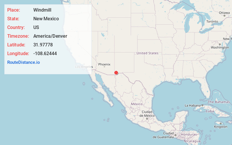
Full AddressWindmill, NM 88020
-
Coordinates31.97778, -108.62444
-
LocationWindmill , New Mexico , US
-
TimezoneAmerica/Denver
-
Current Local Time9:06:57 PM America/DenverSaturday, May 17, 2025
-
Page Views0
About Windmill
Windmill is a census-designated place in Hidalgo County, New Mexico, United States. Its population was 43 as of the 2010 census. The community is located along New Mexico State Road 9.
The community was founded in the 1970s. While it is located on a windy plain, as of 1991 it did not have a windmill despite its name.
Nearby Places
Found 5 places within 50 miles

Cotton City
16.8 mi
27.0 km
Cotton City, NM 88020
Get directions

Lordsburg
26.2 mi
42.2 km
Lordsburg, NM 88045
Get directions
Glen Acres
28.1 mi
45.2 km
Glen Acres, NM 88045
Get directions

San Simon
40.5 mi
65.2 km
San Simon, AZ 85632
Get directions

White Signal
42.7 mi
68.7 km
White Signal, NM 88061
Get directions
Location Links
Local Weather
Weather Information
Coming soon!
Location Map
Static map view of Windmill, New Mexico
Browse Places by Distance
Places within specific distances from Windmill
Short Distances
Long Distances
Click any distance to see all places within that range from Windmill. Distances shown in miles (1 mile ≈ 1.61 kilometers).