Distance to Wing, Illinois

Calculating Your Route
Just a moment while we process your request...
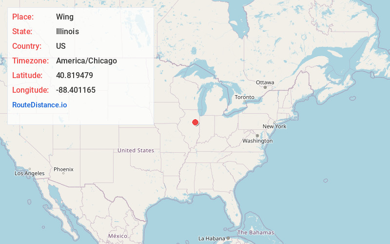
Location Information
-
Full AddressWing, IL 61741
-
Coordinates40.8194785, -88.401165
-
LocationWing , Illinois , US
-
TimezoneAmerica/Chicago
-
Current Local Time4:24:44 AM America/ChicagoWednesday, June 18, 2025
-
Page Views0
Nearby Places
Found 10 places within 50 miles

Forrest
4.7 mi
7.6 km
Forrest, IL 61741
Get directions

Saunemin
5.1 mi
8.2 km
Saunemin, IL 61769
Get directions

Charlotte
5.9 mi
9.5 km
Charlotte, IL 60921
Get directions
Griswold
6.9 mi
11.1 km
Griswold, Sullivan Township, IL 60929
Get directions

Chatsworth
7.3 mi
11.7 km
Chatsworth, IL 60921
Get directions

Fairbury
7.8 mi
12.6 km
Fairbury, IL 61739
Get directions
Rugby
7.9 mi
12.7 km
Rugby, IL 61764
Get directions
Champlin
8.0 mi
12.9 km
Champlin, Avoca Township, IL 61739
Get directions
Cullom
8.0 mi
12.9 km
Cullom, IL 60929
Get directions
Cereal
8.1 mi
13.0 km
Cereal, Chatsworth Township, IL 60921
Get directions
Location Links
Local Weather
Weather Information
Coming soon!
Location Map
Static map view of Wing, Illinois
Browse Places by Distance
Places within specific distances from Wing
Short Distances
Long Distances
Click any distance to see all places within that range from Wing. Distances shown in miles (1 mile ≈ 1.61 kilometers).