Distance to Wingate, Missouri

Calculating Your Route
Just a moment while we process your request...
Location Information
-
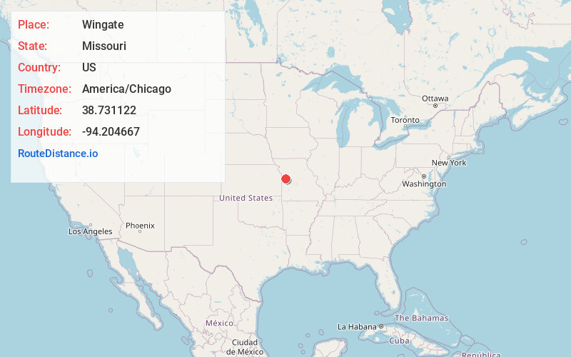
Full AddressWingate, MO 64080
-
Coordinates38.7311215, -94.2046672
-
LocationWingate , Missouri , US
-
TimezoneAmerica/Chicago
-
Current Local Time5:45:12 PM America/ChicagoSaturday, June 21, 2025
-
Page Views0
About Wingate
Wingate is an unincorporated community in northeast Cass County, in the U.S. state of Missouri.
The community is on Missouri Route P approximately five miles southeast of Pleasant Hill and nine miles northeast of Harrisonville. Big Creek flows past approximately one mile to the north and east.
Nearby Places
Found 10 places within 50 miles

Strasburg
2.9 mi
4.7 km
Strasburg, MO 64080
Get directions

Hadsell
4.3 mi
6.9 km
Hadsell, Index Township, MO 64747
Get directions
East Lynne
4.5 mi
7.2 km
East Lynne, MO
Get directions
Baldwin Park
4.9 mi
7.9 km
Baldwin Park, MO 64080
Get directions
Gunn City
5.0 mi
8.0 km
Gunn City, MO 64747
Get directions

Pleasant Hill
5.2 mi
8.4 km
Pleasant Hill, MO
Get directions
Gowdy
5.5 mi
8.9 km
Gowdy, Big Creek Township, MO 64080
Get directions
Fenwick
6.8 mi
10.9 km
Fenwick, Rose Hill Township, MO 64040
Get directions
Ore
7.0 mi
11.3 km
Ore, Peculiar Township, MO 64080
Get directions
Kingsville
7.3 mi
11.7 km
Kingsville, MO 64061
Get directions
Location Links
Local Weather
Weather Information
Coming soon!
Location Map
Static map view of Wingate, Missouri
Browse Places by Distance
Places within specific distances from Wingate
Short Distances
Long Distances
Click any distance to see all places within that range from Wingate. Distances shown in miles (1 mile ≈ 1.61 kilometers).