Distance to Winigan, Missouri

Calculating Your Route
Just a moment while we process your request...
Location Information
-
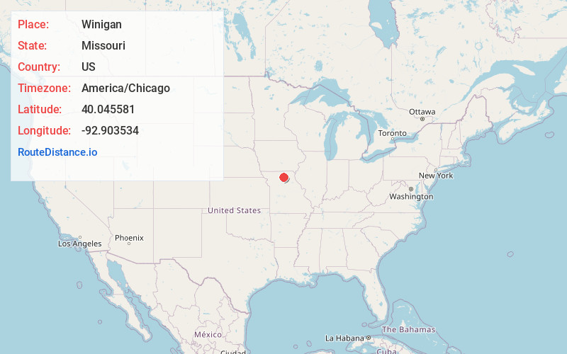
Full AddressWinigan, MO 63566
-
Coordinates40.0455809, -92.9035337
-
LocationWinigan , Missouri , US
-
TimezoneAmerica/Chicago
-
Current Local Time7:45:37 AM America/ChicagoWednesday, June 18, 2025
-
Page Views0
About Winigan
Winigan is an unincorporated community in southeastern Sullivan County, Missouri, United States. It is located on Missouri Route 129, approximately 15 mi southeast of Milan. The Sullivan - Linn county line is one-half mile south of the community.
Nearby Places
Found 10 places within 50 miles

South Gifford
11.8 mi
19.0 km
South Gifford, MO 63549
Get directions

Ethel
13.6 mi
21.9 km
Ethel, MO
Get directions
Browning
13.7 mi
22.0 km
Browning, MO 64630
Get directions
Elmer
14.7 mi
23.7 km
Elmer, MO 63538
Get directions
Greencastle
14.9 mi
24.0 km
Greencastle, MO 63544
Get directions
Purdin
15.3 mi
24.6 km
Purdin, MO 64674
Get directions

Green City
15.6 mi
25.1 km
Green City, MO 63545
Get directions

Milan
15.9 mi
25.6 km
Milan, MO 63556
Get directions
Novinger
16.5 mi
26.6 km
Novinger, MO 63559
Get directions

Bucklin
18.2 mi
29.3 km
Bucklin, MO 64631
Get directions
Location Links
Local Weather
Weather Information
Coming soon!
Location Map
Static map view of Winigan, Missouri
Browse Places by Distance
Places within specific distances from Winigan
Short Distances
Long Distances
Click any distance to see all places within that range from Winigan. Distances shown in miles (1 mile ≈ 1.61 kilometers).