Distance to Winnabow, North Carolina

Calculating Your Route
Just a moment while we process your request...
Location Information
-
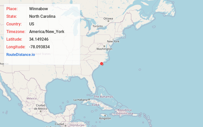
Full AddressWinnabow, NC
-
Coordinates34.1492456, -78.0938338
-
LocationWinnabow , North Carolina , US
-
TimezoneAmerica/New_York
-
Current Local Time3:39:49 AM America/New_YorkWednesday, June 18, 2025
-
Page Views0
About Winnabow
Winnabow is an unincorporated community and census-designated place in Brunswick County in the U.S. state of North Carolina. It is mainly a farming community along U.S. Route 17. There is no large retail presence in the area, except a Han Dee Hugo's convenience store at the intersection of NC 87 and US 17 South.
Nearby Places
Found 10 places within 50 miles

Bishop
2.1 mi
3.4 km
Bishop, NC 28451
Get directions
Lanvale
4.3 mi
6.9 km
Lanvale, NC 28451
Get directions

Bolivia
6.5 mi
10.5 km
Bolivia, NC 28422
Get directions

Leland
6.5 mi
10.5 km
Leland, NC
Get directions
Eliah
6.8 mi
10.9 km
Eliah, NC 28451
Get directions
Belville
8.1 mi
13.0 km
Belville, NC 28451
Get directions
Half Hell
8.4 mi
13.5 km
Half Hell, NC 28422
Get directions
Kendall Chapel
8.5 mi
13.7 km
Kendall Chapel, NC 28479
Get directions
Navassa
9.3 mi
15.0 km
Navassa, NC
Get directions
Sandy Creek
10.0 mi
16.1 km
Sandy Creek, NC 28451
Get directions
Location Links
Local Weather
Weather Information
Coming soon!
Location Map
Static map view of Winnabow, North Carolina
Browse Places by Distance
Places within specific distances from Winnabow
Short Distances
Long Distances
Click any distance to see all places within that range from Winnabow. Distances shown in miles (1 mile ≈ 1.61 kilometers).