Distance to Wolfe City, Texas

Calculating Your Route
Just a moment while we process your request...
Location Information
-
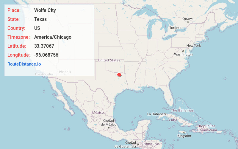
Full AddressWolfe City, TX 75496
-
Coordinates33.3706695, -96.0687562
-
LocationWolfe City , Texas , US
-
TimezoneAmerica/Chicago
-
Current Local Time2:25:28 AM America/ChicagoMonday, June 2, 2025
-
Page Views0
About Wolfe City
Wolfe City is a city in Hunt County, Texas, United States, located at the intersection of State Highways 34 and 11. It is 17 miles north of Greenville in north-central Hunt County, and was settled in the 1860s or 1870s, when J. Pinckney Wolfe built a mill near the banks of Oyster Creek.


Nearby Places
Found 10 places within 50 miles

Leonard
10.3 mi
16.6 km
Leonard, TX
Get directions

Commerce
12.5 mi
20.1 km
Commerce, TX 75428
Get directions

Bonham
15.6 mi
25.1 km
Bonham, TX 75418
Get directions

Greenville
16.1 mi
25.9 km
Greenville, TX
Get directions

Honey Grove
17.3 mi
27.8 km
Honey Grove, TX 75446
Get directions

Whitewright
21.1 mi
34.0 km
Whitewright, TX 75491
Get directions

Cooper
22.0 mi
35.4 km
Cooper, TX 75432
Get directions

Farmersville
22.1 mi
35.6 km
Farmersville, TX 75442
Get directions

Westminster
22.7 mi
36.5 km
Westminster, TX 75409
Get directions

Caddo Mills
23.1 mi
37.2 km
Caddo Mills, TX
Get directions
Location Links
Local Weather
Weather Information
Coming soon!
Location Map
Static map view of Wolfe City, Texas
Browse Places by Distance
Places within specific distances from Wolfe City
Short Distances
Long Distances
Click any distance to see all places within that range from Wolfe City. Distances shown in miles (1 mile ≈ 1.61 kilometers).