Distance to Wolverine, Kentucky

Calculating Your Route
Just a moment while we process your request...
Location Information
-
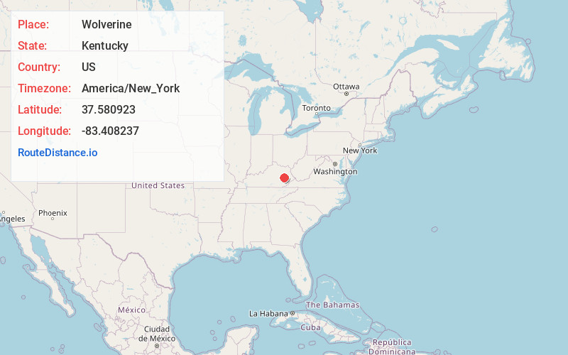
Full AddressWolverine, KY 41339
-
Coordinates37.5809228, -83.4082367
-
LocationWolverine , Kentucky , US
-
TimezoneAmerica/New_York
-
Current Local Time5:35:52 PM America/New_YorkThursday, June 12, 2025
-
Page Views0
About Wolverine
Wolverine is an unincorporated community and coal town in Breathitt County, Kentucky, United States.
Nearby Places
Found 10 places within 50 miles

Fivemile
0.9 mi
1.4 km
Fivemile, KY 41339
Get directions

Jackson
2.3 mi
3.7 km
Jackson, KY 41339
Get directions
Sewell
3.3 mi
5.3 km
Sewell, KY 41385
Get directions
Noctor
4.2 mi
6.8 km
Noctor, KY 41339
Get directions
Chenowee
4.7 mi
7.6 km
Chenowee, KY 41339
Get directions
Quicksand
5.0 mi
8.0 km
Quicksand, KY 41339
Get directions
Pence
5.1 mi
8.2 km
Pence, KY 41301
Get directions
Oakdale
6.2 mi
10.0 km
Oakdale, KY 41339
Get directions
Hurst
6.6 mi
10.6 km
Hurst, KY 41339
Get directions
Paxton
6.6 mi
10.6 km
Paxton, KY 41385
Get directions
Location Links
Local Weather
Weather Information
Coming soon!
Location Map
Static map view of Wolverine, Kentucky
Browse Places by Distance
Places within specific distances from Wolverine
Short Distances
Long Distances
Click any distance to see all places within that range from Wolverine. Distances shown in miles (1 mile ≈ 1.61 kilometers).