Distance to Woodfin, North Carolina

Calculating Your Route
Just a moment while we process your request...
Location Information
-
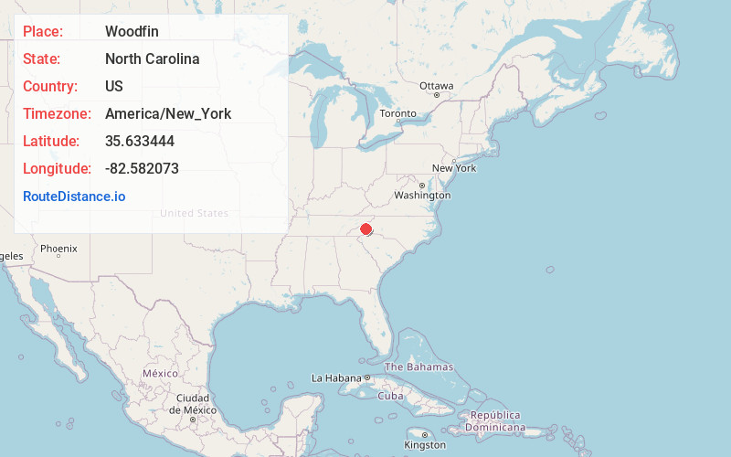
Full AddressWoodfin, NC
-
Coordinates35.633444, -82.5820725
-
LocationWoodfin , North Carolina , US
-
TimezoneAmerica/New_York
-
Current Local Time6:08:36 AM America/New_YorkWednesday, June 18, 2025
-
Website
-
Page Views0
About Woodfin
Woodfin is a small town bordering a stretch of the French Broad River, with picnic spots, fishing, and kayaking at Woodfin River Park. Specialty shops and secondhand stores are scattered on and around Weaverville Road, while an eclectic dining scene includes burger and BBQ joints, Mexican restaurants, and homey cafes. The 1847 Colonial Revival-style Reynolds Mansion, now a B&B, is an architectural landmark.

Nearby Places
Found 8 places within 50 miles

Asheville
3.2 mi
5.1 km
Asheville, NC
Get directions

Black Mountain
14.7 mi
23.7 km
Black Mountain, NC 28711
Get directions

Fletcher
14.7 mi
23.7 km
Fletcher, NC
Get directions

Hendersonville
22.8 mi
36.7 km
Hendersonville, NC
Get directions

Waynesville
25.0 mi
40.2 km
Waynesville, NC 28786
Get directions

Greeneville
39.2 mi
63.1 km
Greeneville, TN
Get directions

Travelers Rest
46.7 mi
75.2 km
Travelers Rest, SC
Get directions

Johnson City
49.3 mi
79.3 km
Johnson City, TN
Get directions
Location Links
Local Weather
Weather Information
Coming soon!
Location Map
Static map view of Woodfin, North Carolina
Browse Places by Distance
Places within specific distances from Woodfin
Short Distances
Long Distances
Click any distance to see all places within that range from Woodfin. Distances shown in miles (1 mile ≈ 1.61 kilometers).