Distance to Woodrow, South Carolina

Calculating Your Route
Just a moment while we process your request...
Location Information
-
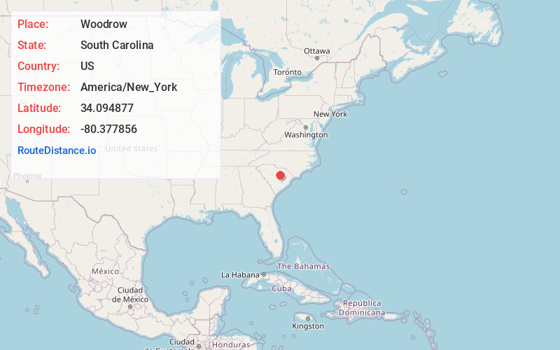
Full AddressWoodrow, SC 29040
-
Coordinates34.0948769, -80.377856
-
LocationWoodrow , South Carolina , US
-
TimezoneAmerica/New_York
-
Current Local Time1:40:03 AM America/New_YorkThursday, June 19, 2025
-
Page Views0
Nearby Places
Found 10 places within 50 miles

Dubose
3.4 mi
5.5 km
Dubose, SC 29153
Get directions
Ashwood
3.6 mi
5.8 km
Ashwood, SC
Get directions
Gaillard Crossroads
4.5 mi
7.2 km
Gaillard Crossroads, SC 29128
Get directions
Brent
5.2 mi
8.4 km
Brent, SC 29040
Get directions
Spring Hill
5.2 mi
8.4 km
Spring Hill, SC 29128
Get directions
Hammetts Crossroads
5.4 mi
8.7 km
Hammetts Crossroads, SC 29010
Get directions
Manville
5.9 mi
9.5 km
Manville, SC 29010
Get directions
Borden
6.0 mi
9.7 km
Borden, SC 29128
Get directions

Dalzell
6.2 mi
10.0 km
Dalzell, SC
Get directions
Pisgah
7.0 mi
11.3 km
Pisgah, SC 29128
Get directions
Location Links
Local Weather
Weather Information
Coming soon!
Location Map
Static map view of Woodrow, South Carolina
Browse Places by Distance
Places within specific distances from Woodrow
Short Distances
Long Distances
Click any distance to see all places within that range from Woodrow. Distances shown in miles (1 mile ≈ 1.61 kilometers).