Distance to Woodrow, Colorado

Calculating Your Route
Just a moment while we process your request...
Location Information
-
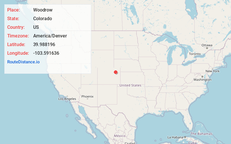
Full AddressWoodrow, CO 80757
-
Coordinates39.9881957, -103.5916357
-
LocationWoodrow , Colorado , US
-
TimezoneAmerica/Denver
-
Current Local Time11:45:59 PM America/DenverFriday, May 23, 2025
-
Page Views0
About Woodrow
Woodrow is an unincorporated rural hamlet consisting of a U.S. Post Office, a church and 3 houses, located in Washington County, Colorado, United States. The Woodrow Post Office serves ZIP Code 80757.
The post office at Woodrow has been in operation since 1913.
Nearby Places
Found 10 places within 50 miles

Gary
5.9 mi
9.5 km
Gary, CO 80723
Get directions
Rago
9.4 mi
15.1 km
Rago, CO 80720
Get directions
Shamrock
13.9 mi
22.4 km
Shamrock, CO 80701
Get directions
Adena
15.7 mi
25.3 km
Adena, CO 80701
Get directions

Last Chance
17.1 mi
27.5 km
Last Chance, CO 80757
Get directions
Pinneo
17.3 mi
27.8 km
Pinneo, CO 80720
Get directions
Xenia
17.7 mi
28.5 km
Xenia, CO 80720
Get directions
Nelson
18.6 mi
29.9 km
Nelson, CO 80701
Get directions

Brush
18.8 mi
30.3 km
Brush, CO 80723
Get directions
Lodi
19.1 mi
30.7 km
Lodi, CO 80701
Get directions
Location Links
Local Weather
Weather Information
Coming soon!
Location Map
Static map view of Woodrow, Colorado
Browse Places by Distance
Places within specific distances from Woodrow
Short Distances
Long Distances
Click any distance to see all places within that range from Woodrow. Distances shown in miles (1 mile ≈ 1.61 kilometers).