Distance to Woods Edge, Maryland

Calculating Your Route
Just a moment while we process your request...
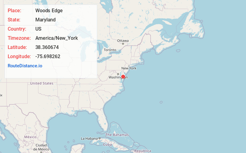
Location Information
-
Full AddressWoods Edge, MD 21801
-
Coordinates38.3606743, -75.6982618
-
LocationWoods Edge , Maryland , US
-
TimezoneAmerica/New_York
-
Current Local Time1:37:42 AM America/New_YorkMonday, June 23, 2025
-
Page Views0
Nearby Places
Found 10 places within 50 miles

Upper Ferry Estates
1.2 mi
1.9 km
Upper Ferry Estates, MD 21801
Get directions
Catchpenny
1.4 mi
2.3 km
Catchpenny, MD 21856
Get directions
Siloam
2.4 mi
3.9 km
Siloam, MD 21822
Get directions
Simms Wharf
2.5 mi
4.0 km
Simms Wharf, MD 21856
Get directions

Quantico
2.6 mi
4.2 km
Quantico, MD
Get directions
Walnut
3.4 mi
5.5 km
Walnut, MD 21801
Get directions

Shad Point
3.8 mi
6.1 km
Shad Point, Maryland 21801
Get directions

Hebron
4.1 mi
6.6 km
Hebron, MD 21830
Get directions
Ferry Rd
4.2 mi
6.8 km
Ferry Rd, MD 21822
Get directions
Crows Nest
4.4 mi
7.1 km
Crows Nest, MD 21822
Get directions
Location Links
Local Weather
Weather Information
Coming soon!
Location Map
Static map view of Woods Edge, Maryland
Browse Places by Distance
Places within specific distances from Woods Edge
Short Distances
Long Distances
Click any distance to see all places within that range from Woods Edge. Distances shown in miles (1 mile ≈ 1.61 kilometers).