Distance to Woodstock, New Brunswick

Calculating Your Route
Just a moment while we process your request...
Location Information
-
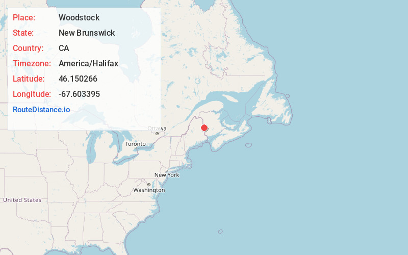
Full AddressWoodstock, NB, Canada
-
Coordinates46.150266, -67.6033952
-
LocationWoodstock , New Brunswick , CA
-
TimezoneAmerica/Halifax
-
Current Local Time5:38:05 AM America/HalifaxWednesday, June 4, 2025
-
Page Views0
About Woodstock
Woodstock is a town in Carleton County, New Brunswick, Canada on the Saint John River, 103 km upriver from Fredericton at the mouth of the Meduxnekeag River. It is near the Canada–United States border and Houlton, Maine and the intersection of Interstate 95 and the Trans-Canada Highway making it a transportation hub.


Nearby Places
Found 10 places within 50 miles

Houlton
11.5 mi
18.5 km
Houlton, ME 04730
Get directions

Littleton
12.7 mi
20.4 km
Littleton, ME 04730
Get directions

Hodgdon
13.3 mi
21.4 km
Hodgdon, ME 04730
Get directions
Town of Hammond
15.4 mi
24.8 km
Town of Hammond, ME 04730
Get directions
Monticello
15.8 mi
25.4 km
Monticello, ME
Get directions
Twin Brook
16.0 mi
25.7 km
Twin Brook, Town of Hammond, ME 04730
Get directions
Ludlow
17.0 mi
27.4 km
Ludlow, ME 04730
Get directions

New Limerick
17.4 mi
28.0 km
New Limerick, ME
Get directions

Linneus
18.7 mi
30.1 km
Linneus, ME
Get directions
Moose Brook
19.2 mi
30.9 km
Moose Brook, Amity, ME 04471
Get directions
Location Links
Local Weather
Weather Information
Coming soon!
Location Map
Static map view of Woodstock, New Brunswick
Browse Places by Distance
Places within specific distances from Woodstock
Short Distances
Long Distances
Click any distance to see all places within that range from Woodstock. Distances shown in miles (1 mile ≈ 1.61 kilometers).