Distance to Woodstock, Ontario

Calculating Your Route
Just a moment while we process your request...
Location Information
-
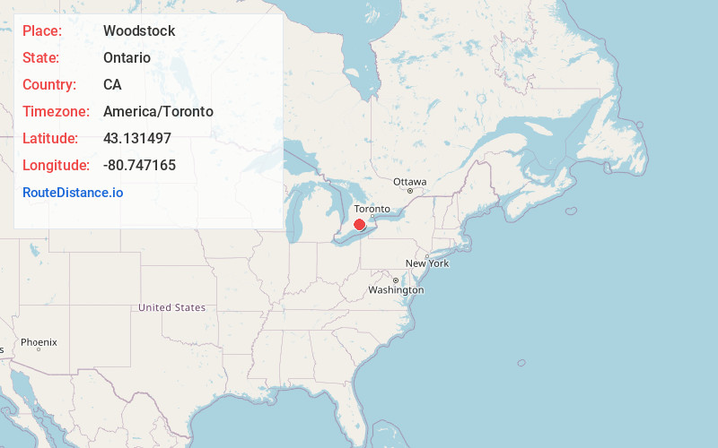
Full AddressWoodstock, ON, Canada
-
Coordinates43.1314966, -80.7471651
-
LocationWoodstock , Ontario , CA
-
TimezoneAmerica/Toronto
-
Current Local Time9:45:32 PM America/TorontoThursday, June 19, 2025
-
Website
-
Page Views0
About Woodstock
Woodstock is a city in Southwestern Ontario, Canada. The city has a population of 46,705 according to the 2021 Canadian census. Woodstock is the seat of Oxford County, at the head of the Thames River, approximately 128 km from Toronto, and 43 km from London, Ontario.


Nearby Places
Found 5 places within 50 miles

Brantford
24.4 mi
39.3 km
Brantford, ON, Canada
Get directions

Kitchener
25.5 mi
41.0 km
Kitchener, ON, Canada
Get directions

Waterloo
25.7 mi
41.4 km
Waterloo, ON, Canada
Get directions

London
27.1 mi
43.6 km
London, ON, Canada
Get directions

Hamilton
45.0 mi
72.4 km
Hamilton, ON, Canada
Get directions
Location Links
Local Weather
Weather Information
Coming soon!
Location Map
Static map view of Woodstock, Ontario
Browse Places by Distance
Places within specific distances from Woodstock
Short Distances
Long Distances
Click any distance to see all places within that range from Woodstock. Distances shown in miles (1 mile ≈ 1.61 kilometers).