Distance to Wren, Alabama

Calculating Your Route
Just a moment while we process your request...
Location Information
-
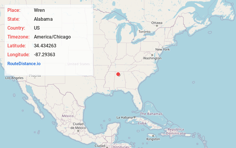
Full AddressWren, AL 35650
-
Coordinates34.4342631, -87.2936304
-
LocationWren , Alabama , US
-
TimezoneAmerica/Chicago
-
Current Local Time4:41:57 AM America/ChicagoWednesday, June 18, 2025
-
Page Views0
About Wren
Wren is an unincorporated community in Lawrence County, Alabama, United States. Wren is located at the intersection of Alabama State Route 36 and Alabama State Route 33, 3.1 miles south of Moulton.
Nearby Places
Found 10 places within 50 miles

Moulton
3.2 mi
5.1 km
Moulton, AL 35650
Get directions

Oakville
7.6 mi
12.2 km
Oakville, AL 35619
Get directions
Hickory Grove
8.6 mi
13.8 km
Hickory Grove, AL 35651
Get directions

Hatton
11.3 mi
18.2 km
Hatton, AL 35672
Get directions
Danville
11.8 mi
19.0 km
Danville, AL 35619
Get directions
Wolftown
12.0 mi
19.3 km
Wolftown, AL 35603
Get directions
Caddo
12.8 mi
20.6 km
Caddo, AL 35673
Get directions
Moreland
13.3 mi
21.4 km
Moreland, AL 35572
Get directions
Terrytown
13.5 mi
21.7 km
Terrytown, AL 35618
Get directions
Andrews Chapel
13.7 mi
22.0 km
Andrews Chapel, AL 35619
Get directions
Location Links
Local Weather
Weather Information
Coming soon!
Location Map
Static map view of Wren, Alabama
Browse Places by Distance
Places within specific distances from Wren
Short Distances
Long Distances
Click any distance to see all places within that range from Wren. Distances shown in miles (1 mile ≈ 1.61 kilometers).