Distance to Wrightstown, New Jersey

Calculating Your Route
Just a moment while we process your request...
Location Information
-
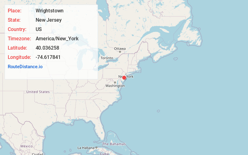
Full AddressWrightstown, NJ
-
Coordinates40.0362576, -74.6178406
-
LocationWrightstown , New Jersey , US
-
TimezoneAmerica/New_York
-
Current Local Time1:49:34 AM America/New_YorkWednesday, June 18, 2025
-
Website
-
Page Views0
About Wrightstown
Wrightstown is a borough in Burlington County, in the U.S. state of New Jersey. As of the 2020 United States census, the borough's population was 720, a decrease of 82 from the 2010 census count of 802, which in turn reflected an increase of 54 from the 748 counted in the 2000 census.

Nearby Places
Found 10 places within 50 miles

New Hanover
0.7 mi
1.1 km
New Hanover, NJ
Get directions

North Hanover
3.2 mi
5.1 km
North Hanover, NJ
Get directions

Plumsted
5.1 mi
8.2 km
Plumsted, NJ
Get directions

Chesterfield Township
5.6 mi
9.0 km
Chesterfield Township, NJ
Get directions

Pemberton
5.6 mi
9.0 km
Pemberton, NJ 08068
Get directions

Mansfield
6.1 mi
9.8 km
Mansfield, NJ
Get directions

Eastampton Township
8.1 mi
13.0 km
Eastampton Township, NJ 08060
Get directions

Upper Freehold
8.9 mi
14.3 km
Upper Freehold, NJ
Get directions

Bordentown
8.9 mi
14.3 km
Bordentown, NJ 08505
Get directions

Fieldsboro
9.1 mi
14.6 km
Fieldsboro, NJ 08505
Get directions
Location Links
Local Weather
Weather Information
Coming soon!
Location Map
Static map view of Wrightstown, New Jersey
Browse Places by Distance
Places within specific distances from Wrightstown
Short Distances
Long Distances
Click any distance to see all places within that range from Wrightstown. Distances shown in miles (1 mile ≈ 1.61 kilometers).