Distance to Wyeville, Wisconsin

Calculating Your Route
Just a moment while we process your request...
Location Information
-
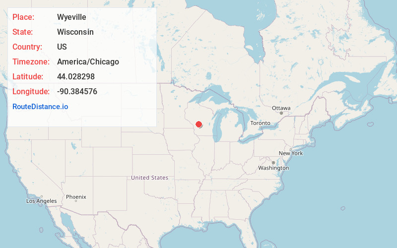
Full AddressWyeville, WI
-
Coordinates44.0282977, -90.3845763
-
LocationWyeville , Wisconsin , US
-
TimezoneAmerica/Chicago
-
Current Local Time7:10:56 PM America/ChicagoWednesday, June 4, 2025
-
Page Views0
About Wyeville
Wyeville is a village in Monroe County, Wisconsin, United States. It is located on Wisconsin Highway 21. The population was 121 at the 2020 census.


Nearby Places
Found 10 places within 50 miles

Oakdale
4.7 mi
7.6 km
Oakdale, WI 54660
Get directions

Tomah
6.9 mi
11.1 km
Tomah, WI 54660
Get directions

Tunnel City
9.1 mi
14.6 km
Tunnel City, WI
Get directions

Warrens
9.1 mi
14.6 km
Warrens, WI 54666
Get directions

Camp Douglas
9.2 mi
14.8 km
Camp Douglas, WI
Get directions

Hustler
11.7 mi
18.8 km
Hustler, WI
Get directions

New Lisbon
15.0 mi
24.1 km
New Lisbon, WI 53950
Get directions

Necedah
15.4 mi
24.8 km
Necedah, WI 54646
Get directions
Kendall
16.3 mi
26.2 km
Kendall, WI 54638
Get directions

Wilton
16.5 mi
26.6 km
Wilton, WI 54670
Get directions
Location Links
Local Weather
Weather Information
Coming soon!
Location Map
Static map view of Wyeville, Wisconsin
Browse Places by Distance
Places within specific distances from Wyeville
Short Distances
Long Distances
Click any distance to see all places within that range from Wyeville. Distances shown in miles (1 mile ≈ 1.61 kilometers).