Distance to Wynoose, Illinois

Calculating Your Route
Just a moment while we process your request...
Location Information
-
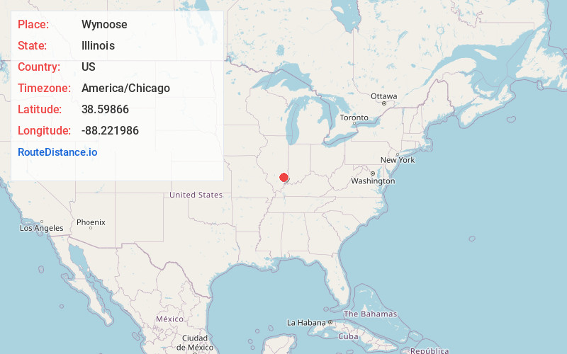
Full AddressWynoose, IL 62868
-
Coordinates38.5986597, -88.2219864
-
LocationWynoose , Illinois , US
-
TimezoneAmerica/Chicago
-
Current Local Time8:12:53 PM America/ChicagoWednesday, June 18, 2025
-
Page Views0
About Wynoose
Wynoose is an unincorporated community in Richland and Wayne counties, Illinois, United States. Wynoose is 6 miles north of Mount Erie.
Nearby Places
Found 10 places within 50 miles

Schnell
3.0 mi
4.8 km
Schnell, Decker Township, IL 62868
Get directions
Mt Erie
5.8 mi
9.3 km
Mt Erie, IL 62446
Get directions
Noble
6.8 mi
10.9 km
Noble, IL 62868
Get directions
Camp Travis
7.3 mi
11.7 km
Camp Travis, Clay City Township, IL 62824
Get directions
Maple Grove
8.3 mi
13.4 km
Maple Grove, Shelby No. 1 Precinct, IL 62452
Get directions

Parkersburg
8.9 mi
14.3 km
Parkersburg, IL 62452
Get directions
Maysville
9.0 mi
14.5 km
Maysville, Clay City, IL 62824
Get directions
Pureton
9.1 mi
14.6 km
Pureton, Noble Township, IL 62868
Get directions

Clay City
9.5 mi
15.3 km
Clay City, IL 62824
Get directions

Calhoun
10.3 mi
16.6 km
Calhoun, IL 62419
Get directions
Location Links
Local Weather
Weather Information
Coming soon!
Location Map
Static map view of Wynoose, Illinois
Browse Places by Distance
Places within specific distances from Wynoose
Short Distances
Long Distances
Click any distance to see all places within that range from Wynoose. Distances shown in miles (1 mile ≈ 1.61 kilometers).