Distance to Xenophon, Tennessee

Calculating Your Route
Just a moment while we process your request...
Location Information
-
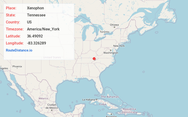
Full AddressXenophon, TN 37869
-
Coordinates36.4909203, -83.3262892
-
LocationXenophon , Tennessee , US
-
TimezoneAmerica/New_York
-
Current Local Time11:05:57 AM America/New_YorkTuesday, June 24, 2025
-
Page Views0
About Xenophon
Xenophon is an unincorporated community in Hancock County, Tennessee, United States. Xenophon is located on Tennessee State Route 33 6.6 miles west-southwest of Sneedville.
Nearby Places
Found 10 places within 50 miles

Evanston
2.5 mi
4.0 km
Evanston, TN 37869
Get directions
Bray
4.7 mi
7.6 km
Bray, TN 37869
Get directions
Howard Quarter
4.9 mi
7.9 km
Howard Quarter, TN 37879
Get directions
Luther
5.2 mi
8.4 km
Luther, TN 37881
Get directions
Papaw
5.2 mi
8.4 km
Papaw, TN 37881
Get directions
Duck Creek
5.7 mi
9.2 km
Duck Creek, TN 37869
Get directions
Bald Point
5.8 mi
9.3 km
Bald Point, TN 37881
Get directions
Yount Town
5.9 mi
9.5 km
Yount Town, TN 37881
Get directions
Alanthus Hill
6.3 mi
10.1 km
Alanthus Hill, TN 37879
Get directions

Sneedville
6.6 mi
10.6 km
Sneedville, TN 37869
Get directions
Location Links
Local Weather
Weather Information
Coming soon!
Location Map
Static map view of Xenophon, Tennessee
Browse Places by Distance
Places within specific distances from Xenophon
Short Distances
Long Distances
Click any distance to see all places within that range from Xenophon. Distances shown in miles (1 mile ≈ 1.61 kilometers).