Distance to Yah-Ta-Hey, New Mexico

Calculating Your Route
Just a moment while we process your request...
Location Information
-
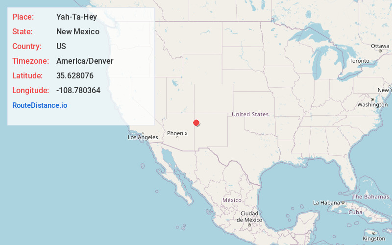
Full AddressYah-Ta-Hey, NM
-
Coordinates35.6280758, -108.7803635
-
LocationYah-Ta-Hey , New Mexico , US
-
TimezoneAmerica/Denver
-
Current Local Time7:58:02 PM America/DenverThursday, June 19, 2025
-
Page Views0
About Yah-Ta-Hey
Yah-ta-hey is a census-designated place in McKinley County, New Mexico, United States. As of the 2020 census, the CDP population was 757, up from 590 in 2010.


Nearby Places
Found 10 places within 50 miles

Rock Springs
3.0 mi
4.8 km
Rock Springs, NM
Get directions

Gamerco
3.9 mi
6.3 km
Gamerco, NM 87301
Get directions
Twin Lakes
5.6 mi
9.0 km
Twin Lakes, NM
Get directions

Church Rock
12.1 mi
19.5 km
Church Rock, NM
Get directions

Window Rock
15.7 mi
25.3 km
Window Rock, AZ
Get directions
St Michaels
17.7 mi
28.5 km
St Michaels, AZ 86511
Get directions

Fort Defiance
18.5 mi
29.8 km
Fort Defiance, AZ 86504
Get directions

Pinedale
18.8 mi
30.3 km
Pinedale, NM 87311
Get directions

Sawmill
28.8 mi
46.3 km
Sawmill, AZ 86504
Get directions

Houck
33.8 mi
54.4 km
Houck, AZ
Get directions
Location Links
Local Weather
Weather Information
Coming soon!
Location Map
Static map view of Yah-Ta-Hey, New Mexico
Browse Places by Distance
Places within specific distances from Yah-Ta-Hey
Short Distances
Long Distances
Click any distance to see all places within that range from Yah-Ta-Hey. Distances shown in miles (1 mile ≈ 1.61 kilometers).