Distance to Yocemento, Kansas

Calculating Your Route
Just a moment while we process your request...
Location Information
-
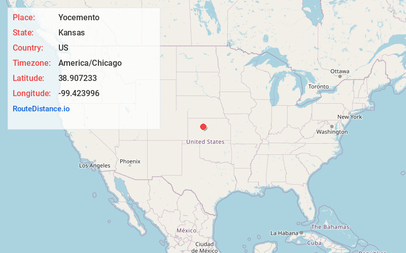
Full AddressYocemento, KS 67601
-
Coordinates38.9072334, -99.4239958
-
LocationYocemento , Kansas , US
-
TimezoneAmerica/Chicago
-
Current Local Time12:07:30 AM America/ChicagoThursday, June 19, 2025
-
Page Views0
About Yocemento
Yocemento is an unincorporated community in Big Creek Township, Ellis County, Kansas, United States. The settlement lies across the banks of Big Creek against the base of bluffs capped by massive limestone blocks, in which lies the 20th-century origin of the community.
Nearby Places
Found 10 places within 50 miles

Hog Back
3.2 mi
5.1 km
Hog Back, Ellis Township, KS 67637
Get directions

Hays
5.6 mi
9.0 km
Hays, KS 67601
Get directions

Ellis
7.6 mi
12.2 km
Ellis, KS 67637
Get directions
Toulon
10.5 mi
16.9 km
Toulon, Big Creek Township, KS 67671
Get directions
Catharine
11.2 mi
18.0 km
Catharine, KS
Get directions
Riga
12.5 mi
20.1 km
Riga, Glencoe Township, KS 67637
Get directions
Schoenchen
14.3 mi
23.0 km
Schoenchen, KS
Get directions

Victoria
15.3 mi
24.6 km
Victoria, KS 67671
Get directions
Turkville
16.6 mi
26.7 km
Turkville, KS 67663
Get directions
Ogallah
17.5 mi
28.2 km
Ogallah, KS 67656
Get directions
Location Links
Local Weather
Weather Information
Coming soon!
Location Map
Static map view of Yocemento, Kansas
Browse Places by Distance
Places within specific distances from Yocemento
Short Distances
Long Distances
Click any distance to see all places within that range from Yocemento. Distances shown in miles (1 mile ≈ 1.61 kilometers).