Distance to Youngstown, Illinois

Calculating Your Route
Just a moment while we process your request...
Location Information
-
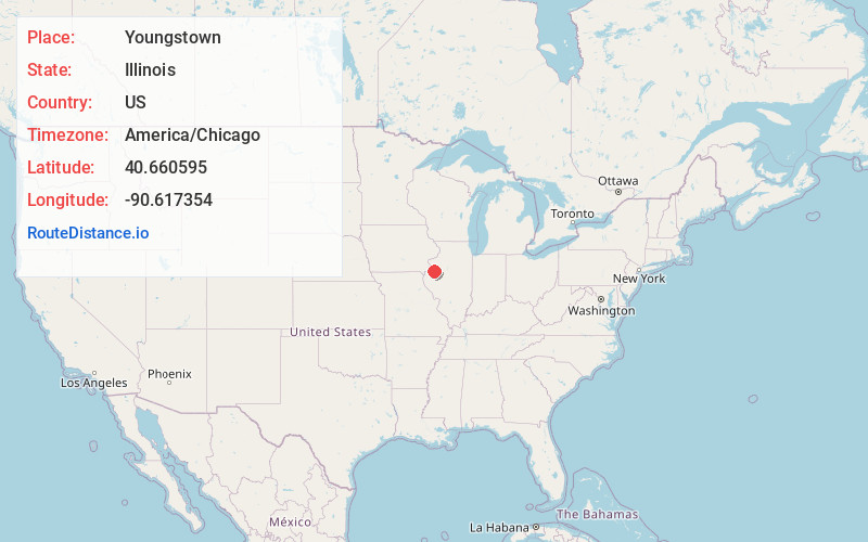
Full AddressYoungstown, IL 61473
-
Coordinates40.6605954, -90.6173543
-
LocationYoungstown , Illinois , US
-
TimezoneAmerica/Chicago
-
Current Local Time4:21:44 AM America/ChicagoThursday, June 5, 2025
-
Page Views0
About Youngstown
Youngstown is an unincorporated community in Warren County, Illinois, United States. Youngstown is 5.5 miles south-southeast of Roseville.
Nearby Places
Found 10 places within 50 miles

Roseville
5.5 mi
8.9 km
Roseville, IL 61473
Get directions

Greenbush
5.6 mi
9.0 km
Greenbush, IL 61473
Get directions

Good Hope
7.7 mi
12.4 km
Good Hope, IL 61438
Get directions
Prairie City
8.6 mi
13.8 km
Prairie City, IL 61470
Get directions

Bushnell
9.5 mi
15.3 km
Bushnell, IL 61422
Get directions

Avon
9.6 mi
15.4 km
Avon, IL 61415
Get directions
Sciota
9.9 mi
15.9 km
Sciota, IL 61475
Get directions
Raritan
11.3 mi
18.2 km
Raritan, IL 61471
Get directions
Manley
11.4 mi
18.3 km
Manley, IL 61415
Get directions

St Augustine
11.6 mi
18.7 km
St Augustine, IL 61474
Get directions
Location Links
Local Weather
Weather Information
Coming soon!
Location Map
Static map view of Youngstown, Illinois
Browse Places by Distance
Places within specific distances from Youngstown
Short Distances
Long Distances
Click any distance to see all places within that range from Youngstown. Distances shown in miles (1 mile ≈ 1.61 kilometers).