Distance to Yuba, Michigan

Calculating Your Route
Just a moment while we process your request...
Location Information
-
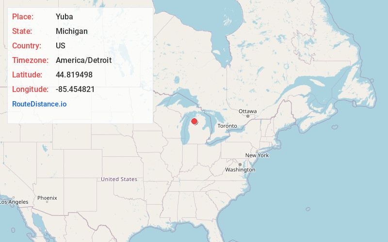
Full AddressYuba, MI 49690
-
Coordinates44.819498, -85.454821
-
LocationYuba , Michigan , US
-
TimezoneAmerica/Detroit
-
Current Local Time7:33:58 PM America/DetroitSunday, June 8, 2025
-
Page Views0
About Yuba
Yuba is a small unincorporated community in the Lower Peninsula of the U.S. state of Michigan. Yuba is a part of Grand Traverse County, and is located in Acme Township along U.S. Highway 31. Yuba rests on the eastern shore of Lake Michigan's Grand Traverse Bay.


Nearby Places
Found 10 places within 50 miles

Elk Rapids
5.6 mi
9.0 km
Elk Rapids, MI 49629
Get directions

Rapid City
8.5 mi
13.7 km
Rapid City, MI 49676
Get directions

Traverse City
9.0 mi
14.5 km
Traverse City, MI
Get directions
Greilickville
9.1 mi
14.6 km
Greilickville, MI
Get directions

Alden
9.8 mi
15.8 km
Alden, MI 49612
Get directions

Suttons Bay
14.5 mi
23.3 km
Suttons Bay, MI 49682
Get directions

Kalkaska
14.9 mi
24.0 km
Kalkaska, MI 49646
Get directions
South Boardman
15.0 mi
24.1 km
South Boardman, MI 49680
Get directions

Grawn
15.9 mi
25.6 km
Grawn, MI
Get directions

Bellaire
16.3 mi
26.2 km
Bellaire, MI 49615
Get directions
Location Links
Local Weather
Weather Information
Coming soon!
Location Map
Static map view of Yuba, Michigan
Browse Places by Distance
Places within specific distances from Yuba
Short Distances
Long Distances
Click any distance to see all places within that range from Yuba. Distances shown in miles (1 mile ≈ 1.61 kilometers).