Distance to Yucatan, Minnesota

Calculating Your Route
Just a moment while we process your request...
Location Information
-
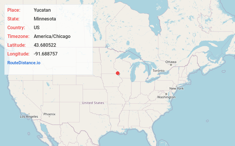
Full AddressYucatan, MN 55943
-
Coordinates43.6805219, -91.6887574
-
LocationYucatan , Minnesota , US
-
TimezoneAmerica/Chicago
-
Current Local Time3:01:37 AM America/ChicagoThursday, June 19, 2025
-
Page Views0
About Yucatan
Yucatan is an unincorporated community in Yucatan Township, Houston County, Minnesota.
Nearby Places
Found 10 places within 50 miles

Black Hammer
4.6 mi
7.4 km
Black Hammer, MN 55974
Get directions
Choice
5.3 mi
8.5 km
Choice, Preble Township, MN 55954
Get directions
Schechs Mill
5.5 mi
8.9 km
Schechs Mill, Caledonia Township, MN 55974
Get directions
Bratsberg
5.5 mi
8.9 km
Bratsberg, MN 55971
Get directions
Tawney
6.7 mi
10.8 km
Tawney, Preble Township, MN 55954
Get directions
Perkins
7.4 mi
11.9 km
Perkins, Money Creek Township, MN 55943
Get directions
Riceford
7.5 mi
12.1 km
Riceford, MN 55954
Get directions

Houston
8.3 mi
13.4 km
Houston, MN 55943
Get directions

Spring Grove
8.7 mi
14.0 km
Spring Grove, MN 55974
Get directions
Willington Grove
8.9 mi
14.3 km
Willington Grove, MN 55974
Get directions
Location Links
Local Weather
Weather Information
Coming soon!
Location Map
Static map view of Yucatan, Minnesota
Browse Places by Distance
Places within specific distances from Yucatan
Short Distances
Long Distances
Click any distance to see all places within that range from Yucatan. Distances shown in miles (1 mile ≈ 1.61 kilometers).