Distance to Yucca Valley, California

Calculating Your Route
Just a moment while we process your request...
Location Information
-
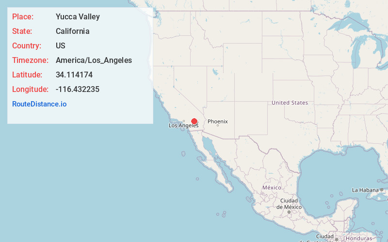
Full AddressYucca Valley, CA 92284
-
Coordinates34.1141743, -116.432235
-
LocationYucca Valley , California , US
-
TimezoneAmerica/Los_Angeles
-
Current Local Time5:48:47 PM America/Los_AngelesTuesday, June 17, 2025
-
Page Views0
About Yucca Valley
Yucca Valley is an incorporated town in San Bernardino County, California, United States. The population was 21,738 as of the 2020 census. Yucca Valley lies 20 miles north of Palm Springs, and 49 miles east of San Bernardino.


Nearby Places
Found 10 places within 50 miles

Palm Springs
20.6 mi
33.2 km
Palm Springs, CA
Get directions

Cathedral City
23.1 mi
37.2 km
Cathedral City, CA
Get directions

Palm Desert
27.3 mi
43.9 km
Palm Desert, CA
Get directions

Banning
28.6 mi
46.0 km
Banning, CA
Get directions

Indio
29.9 mi
48.1 km
Indio, CA
Get directions

La Quinta
31.9 mi
51.3 km
La Quinta, CA
Get directions

Coachella
33.4 mi
53.8 km
Coachella, CA
Get directions

Beaumont
33.7 mi
54.2 km
Beaumont, CA
Get directions

Yucaipa
35.4 mi
57.0 km
Yucaipa, CA
Get directions

San Jacinto
37.8 mi
60.8 km
San Jacinto, CA
Get directions
Location Links
Local Weather
Weather Information
Coming soon!
Location Map
Static map view of Yucca Valley, California
Browse Places by Distance
Places within specific distances from Yucca Valley
Short Distances
Long Distances
Click any distance to see all places within that range from Yucca Valley. Distances shown in miles (1 mile ≈ 1.61 kilometers).