Distance to Yuma Territorial Prison State Historic Park, Arizona

Calculating Your Route
Just a moment while we process your request...
Location Information
-
Full AddressYuma Territorial Prison State Historic Park, 220 Prison Hill Rd, Yuma, AZ 85364
-
Coordinates32.7270528, -114.614925
-
Street220 Prison Hill Rd
-
LocationYuma , Arizona , US
-
TimezoneAmerica/Phoenix
-
Current Local Time1:30:52 AM America/PhoenixWednesday, June 4, 2025
-
Page Views0
About Yuma Territorial Prison State Historic Park
Circa-1876 prison that once housed inmates in a maze of stone-walled cells is now a museum.


Nearby Places
Found 10 places within 50 miles

Winterhaven
1.4 mi
2.3 km
Winterhaven, CA 92283
Get directions

Yuma
2.5 mi
4.0 km
Yuma, AZ
Get directions

Avenue B and C
2.6 mi
4.2 km
Avenue B and C, AZ 85364
Get directions
Ross Corner
4.0 mi
6.4 km
Ross Corner, CA 92283
Get directions

Bard
5.5 mi
8.9 km
Bard, CA 92222
Get directions
Araz Junction
5.9 mi
9.5 km
Araz Junction, CA 92283
Get directions

Felicity
8.9 mi
14.3 km
Felicity, CA 92283
Get directions

Somerton
10.6 mi
17.1 km
Somerton, AZ
Get directions
Blaisdell
11.0 mi
17.7 km
Blaisdell, AZ 85367
Get directions

Dunes
11.3 mi
18.2 km
Dunes, CA 92283
Get directions
Location Links
Local Weather
Weather Information
Coming soon!
Location Map
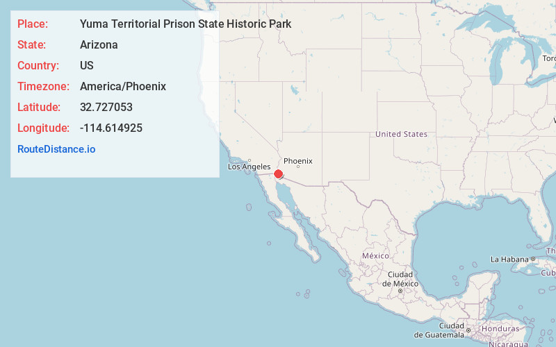
Static map view of Yuma Territorial Prison State Historic Park, Arizona
Browse Places by Distance
Places within specific distances from Yuma Territorial Prison State Historic Park
Short Distances
Long Distances
Click any distance to see all places within that range from Yuma Territorial Prison State Historic Park. Distances shown in miles (1 mile ≈ 1.61 kilometers).