Distance to Zeba, Michigan

Calculating Your Route
Just a moment while we process your request...
Location Information
-
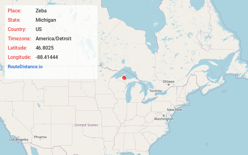
Full AddressZeba, MI 49946
-
Coordinates46.8025, -88.41444
-
LocationZeba , Michigan , US
-
TimezoneAmerica/Detroit
-
Current Local Time1:22:46 AM America/DetroitFriday, June 20, 2025
-
Page Views0
About Zeba
Zeba is an unincorporated community and census-designated place in Baraga County in the U.S. state of Michigan. The CDP had a population of 397 at the 2020 census. The community is located near the southern end of the Keweenaw Bay just north of the village of L'Anse within L'Anse Township.
Nearby Places
Found 10 places within 50 miles

L'Anse
3.7 mi
6.0 km
L'Anse, MI 49946
Get directions

Baraga
3.9 mi
6.3 km
Baraga, MI 49908
Get directions

Chassell
16.5 mi
26.6 km
Chassell, MI 49916
Get directions

South Range
21.4 mi
34.4 km
South Range, MI
Get directions

Dodgeville
21.6 mi
34.8 km
Dodgeville, MI
Get directions

Dollar Bay
22.3 mi
35.9 km
Dollar Bay, MI
Get directions

Houghton
23.2 mi
37.3 km
Houghton, MI
Get directions

Hancock
23.7 mi
38.1 km
Hancock, MI 49930
Get directions
Hubbell
25.6 mi
41.2 km
Hubbell, MI
Get directions

Lake Linden
27.1 mi
43.6 km
Lake Linden, MI 49945
Get directions
Location Links
Local Weather
Weather Information
Coming soon!
Location Map
Static map view of Zeba, Michigan
Browse Places by Distance
Places within specific distances from Zeba
Short Distances
Long Distances
Click any distance to see all places within that range from Zeba. Distances shown in miles (1 mile ≈ 1.61 kilometers).