Distance to Zell, South Dakota

Calculating Your Route
Just a moment while we process your request...
Location Information
-
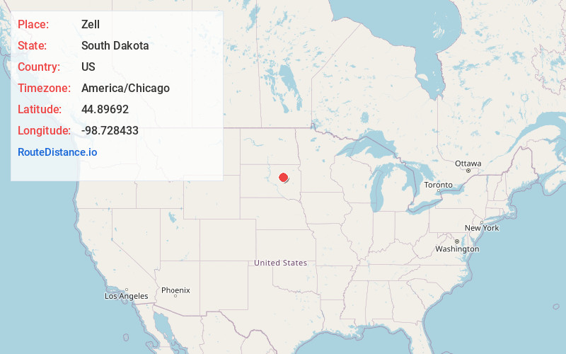
Full AddressZell, SD 57469
-
Coordinates44.8969201, -98.7284331
-
LocationZell , South Dakota , US
-
TimezoneAmerica/Chicago
-
Current Local Time8:27:22 AM America/ChicagoSaturday, June 21, 2025
-
Page Views0
About Zell
Zell is an unincorporated community in Faulk County, South Dakota, United States, astride U.S. Route 212. It was once a stop on the old Chicago and North Western Railway.
Nearby Places
Found 10 places within 50 miles

Rockham
4.7 mi
7.6 km
Rockham, SD
Get directions
Athol
10.1 mi
16.3 km
Athol, SD 57424
Get directions

Redfield
10.4 mi
16.7 km
Redfield, SD 57469
Get directions
Ashton
13.2 mi
21.2 km
Ashton, SD 57424
Get directions
Tulare
15.3 mi
24.6 km
Tulare, SD 57476
Get directions
Crandon
15.7 mi
25.3 km
Crandon, SD 57476
Get directions
Gallup
16.5 mi
26.6 km
Gallup, SD 57424
Get directions
Orient
17.7 mi
28.5 km
Orient, SD 57467
Get directions
Chelsea
18.8 mi
30.3 km
Chelsea, SD 57465
Get directions
Northville
19.3 mi
31.1 km
Northville, SD 57465
Get directions
Location Links
Local Weather
Weather Information
Coming soon!
Location Map
Static map view of Zell, South Dakota
Browse Places by Distance
Places within specific distances from Zell
Short Distances
Long Distances
Click any distance to see all places within that range from Zell. Distances shown in miles (1 mile ≈ 1.61 kilometers).