Distance to Zena, Oregon

Calculating Your Route
Just a moment while we process your request...
Location Information
-
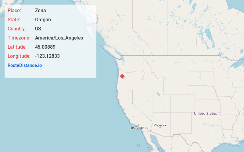
Full AddressZena, OR 97304
-
Coordinates45.00889, -123.12833
-
LocationZena , Oregon , US
-
TimezoneAmerica/Los_Angeles
-
Current Local Time1:21:58 AM America/Los_AngelesFriday, June 20, 2025
-
Page Views0
About Zena
Zena, Oregon is a former community approximately 10 miles northwest of Salem, Oregon, United States, in Polk County. The community was established in 1858, originally called "Spring Valley". It was renamed "Zena" by Daniel Jackson Cooper and his brother Jacob Calvin Cooper, pioneers from Missouri.
Nearby Places
Found 10 places within 50 miles

Lakebrook
4.0 mi
6.4 km
Lakebrook, OR 97303
Get directions

Keizer
5.2 mi
8.4 km
Keizer, OR
Get directions
Eola
5.4 mi
8.7 km
Eola, OR 97304
Get directions

Hopewell
6.3 mi
10.1 km
Hopewell, OR 97304
Get directions

Salem
6.6 mi
10.6 km
Salem, OR
Get directions
Wheatland
7.0 mi
11.3 km
Wheatland, OR 97304
Get directions

Rickreall
7.4 mi
11.9 km
Rickreall, OR 97371
Get directions
Labish Village
7.7 mi
12.4 km
Labish Village, OR 97305
Get directions

Hayesville
7.8 mi
12.6 km
Hayesville, OR 97305
Get directions
Broadmead
8.2 mi
13.2 km
Broadmead, OR 97101
Get directions
Location Links
Local Weather
Weather Information
Coming soon!
Location Map
Static map view of Zena, Oregon
Browse Places by Distance
Places within specific distances from Zena
Short Distances
Long Distances
Click any distance to see all places within that range from Zena. Distances shown in miles (1 mile ≈ 1.61 kilometers).