Distance to Zihuatanejo, Guerrero

Calculating Your Route
Just a moment while we process your request...
Location Information
-
Full AddressZihuatanejo, Guerrero, Mexico
-
Coordinates17.6634816, -101.5930818
-
LocationZihuatanejo , Guerrero , MX
-
TimezoneAmerica/Mexico_City
-
Current Local Time6:08:39 PM America/Mexico_CityWednesday, June 4, 2025
-
Page Views0
About Zihuatanejo
Ixtapa is a Pacific Coast beach resort in the Mexican state of Guerrero. Curving El Palmar Beach is lined with high-rise hotels, bars and restaurants. Fishing boats leave from Ixtapa Marina, adjacent to a golf course. The granite rocks of Los Morros de Potosí are a popular dive site, while the Delfiniti dolphinarium offers the chance to swim with dolphins. The laid-back resort city of Zihuatanejo lies just southeast.


Location Links
Local Weather
Weather Information
Coming soon!
Location Map
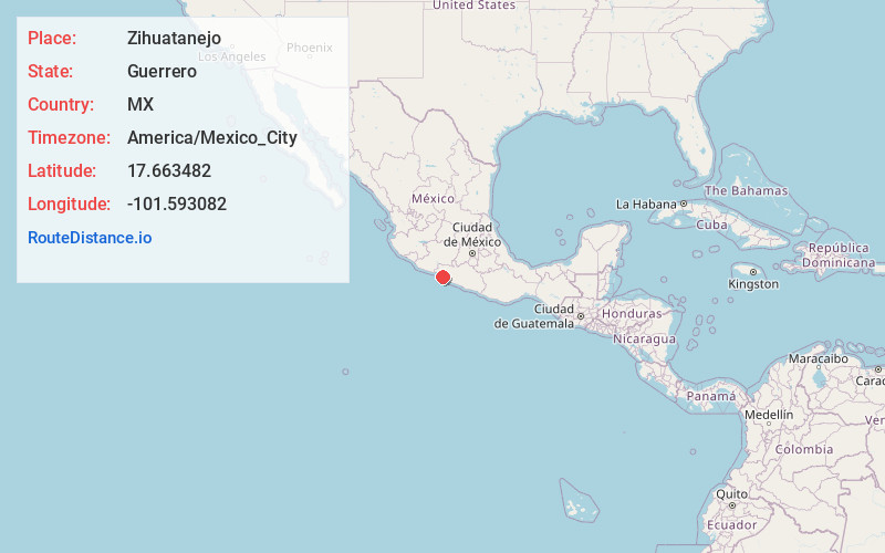
Static map view of Zihuatanejo, Guerrero
Browse Places by Distance
Places within specific distances from Zihuatanejo
Short Distances
Long Distances
Click any distance to see all places within that range from Zihuatanejo. Distances shown in miles (1 mile ≈ 1.61 kilometers).