Distance to Zinc, Arkansas

Calculating Your Route
Just a moment while we process your request...
Location Information
-
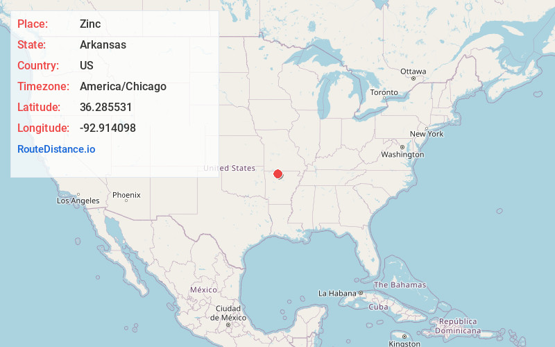
Full AddressZinc, AR 72601
-
Coordinates36.2855311, -92.9140983
-
LocationZinc , Arkansas , US
-
TimezoneAmerica/Chicago
-
Current Local Time11:42:57 PM America/ChicagoWednesday, May 28, 2025
-
Page Views0
About Zinc
Zinc is a town near the east-central edge of Boone County, Arkansas, United States. The population was 92 at the 2020 census. It is part of the Harrison Micropolitan Statistical Area. A chapter of the Ku Klux Klan operates in Zinc.
Nearby Places
Found 10 places within 50 miles

Pyatt
4.5 mi
7.2 km
Pyatt, AR
Get directions

Bergman
5.9 mi
9.5 km
Bergman, AR
Get directions

Everton
9.0 mi
14.5 km
Everton, AR 72633
Get directions

Lead Hill
9.3 mi
15.0 km
Lead Hill, AR 72644
Get directions
Bellefonte
9.5 mi
15.3 km
Bellefonte, AR 72601
Get directions

Valley Springs
10.0 mi
16.1 km
Valley Springs, AR
Get directions

Harrison
11.4 mi
18.3 km
Harrison, AR 72601
Get directions

Diamond City
12.4 mi
20.0 km
Diamond City, AR 72644
Get directions

Summit
12.7 mi
20.4 km
Summit, AR 72687
Get directions

Western Grove
12.9 mi
20.8 km
Western Grove, AR
Get directions
Location Links
Local Weather
Weather Information
Coming soon!
Location Map
Static map view of Zinc, Arkansas
Browse Places by Distance
Places within specific distances from Zinc
Short Distances
Long Distances
Click any distance to see all places within that range from Zinc. Distances shown in miles (1 mile ≈ 1.61 kilometers).