Distance to and from Zionville, North Carolina
Zionville, NC 28698
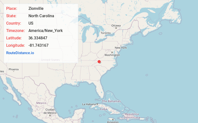
Zionville
North Carolina
US
America/New_York
Location Information
-
Full AddressZionville, NC 28698
-
Coordinates36.3348472, -81.7431667
-
LocationZionville , North Carolina , US
-
TimezoneAmerica/New_York
-
Current Local Time5:53:03 PM America/New_YorkSaturday, May 3, 2025
-
Page Views0
Directions to Nearest Cities
About Zionville
Zionville in an unincorporated community located in Watauga County, North Carolina. The community lies at the North Carolina/Tennessee state line, between Boone and Mountain City, along Old US Highway 421.
Nearby Places
Found 10 places within 50 miles

Trade
1.0 mi
1.6 km
Trade, TN 37691
Get directions

Mabel
1.9 mi
3.1 km
Mabel, NC 28698
Get directions
Pottertown
4.1 mi
6.6 km
Pottertown, NC 28684
Get directions
Forest Grove
4.3 mi
6.9 km
Forest Grove, NC 28692
Get directions

Meat Camp
4.4 mi
7.1 km
Meat Camp, NC 28684
Get directions
Reese
4.6 mi
7.4 km
Reese, NC 28692
Get directions
Sutherland
5.0 mi
8.0 km
Sutherland, NC 28615
Get directions
Sandy
5.0 mi
8.0 km
Sandy, TN 37683
Get directions
Sweetwater
5.2 mi
8.4 km
Sweetwater, NC 28692
Get directions
Green Valley
5.6 mi
9.0 km
Green Valley, NC 28615
Get directions
Trade
1.0 mi
1.6 km
Trade, TN 37691
Mabel
1.9 mi
3.1 km
Mabel, NC 28698
Pottertown
4.1 mi
6.6 km
Pottertown, NC 28684
Forest Grove
4.3 mi
6.9 km
Forest Grove, NC 28692
Meat Camp
4.4 mi
7.1 km
Meat Camp, NC 28684
Reese
4.6 mi
7.4 km
Reese, NC 28692
Sutherland
5.0 mi
8.0 km
Sutherland, NC 28615
Sandy
5.0 mi
8.0 km
Sandy, TN 37683
Sweetwater
5.2 mi
8.4 km
Sweetwater, NC 28692
Green Valley
5.6 mi
9.0 km
Green Valley, NC 28615
Location Links
Local Weather
Weather Information
Coming soon!
Location Map
Static map view of Zionville, North Carolina
Browse Places by Distance
Places within specific distances from Zionville
Short Distances
Long Distances
Click any distance to see all places within that range from Zionville. Distances shown in miles (1 mile ≈ 1.61 kilometers).