Distance to Zora, Missouri

Calculating Your Route
Just a moment while we process your request...
Location Information
-
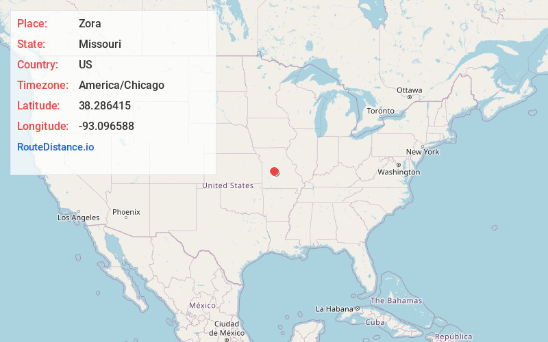
Full AddressZora, MO 65338
-
Coordinates38.2864151, -93.0965876
-
LocationZora , Missouri , US
-
TimezoneAmerica/Chicago
-
Current Local Time1:40:17 AM America/ChicagoWednesday, June 4, 2025
-
Page Views0
About Zora
Zora or Old Zora is an unincorporated community in eastern Benton County, Missouri, United States. Zora is located on the Big Buffalo Creek arm of the Lake of the Ozarks, 15.8 miles east-northeast of Warsaw.
A post office called Zora was established in 1887, and remained in operation until 1931.
Nearby Places
Found 10 places within 50 miles

Lakeview Heights
3.8 mi
6.1 km
Lakeview Heights, MO 65338
Get directions
Boylers Mill
4.3 mi
6.9 km
Boylers Mill, MO 65078
Get directions
Lively
5.3 mi
8.5 km
Lively, Union Township, MO 65326
Get directions
Hastain
7.3 mi
11.7 km
Hastain, MO 65326
Get directions
Knobby
9.3 mi
15.0 km
Knobby, Union Township, MO 65326
Get directions
Crockerville
10.8 mi
17.4 km
Crockerville, Williams Township, MO 65325
Get directions
Dodds
11.0 mi
17.7 km
Dodds, Adair Township, MO 65324
Get directions

Edwards
11.0 mi
17.7 km
Edwards, MO 65326
Get directions
Crest
11.5 mi
18.5 km
Crest, Williams Township, MO 65325
Get directions
Majorville
11.9 mi
19.2 km
Majorville, Fristoe Township, MO 65355
Get directions
Location Links
Local Weather
Weather Information
Coming soon!
Location Map
Static map view of Zora, Missouri
Browse Places by Distance
Places within specific distances from Zora
Short Distances
Long Distances
Click any distance to see all places within that range from Zora. Distances shown in miles (1 mile ≈ 1.61 kilometers).