Distance to Zortman, Montana

Calculating Your Route
Just a moment while we process your request...
Location Information
-
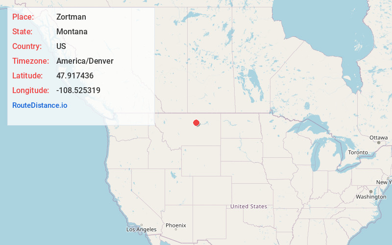
Full AddressZortman, MT 59546
-
Coordinates47.9174361, -108.5253185
-
LocationZortman , Montana , US
-
TimezoneAmerica/Denver
-
Current Local Time5:12:49 AM America/DenverFriday, June 13, 2025
-
Page Views0
About Zortman
Zortman is a census-designated place and unincorporated community in Phillips County, Montana, United States. Its population was 69 as of the 2010 census. Zortman has a post office with ZIP code 59546.
The community includes the Zortman Motel and the Buckhorn Store and Cabins.


Nearby Places
Found 9 places within 50 miles

Landusky
4.7 mi
7.6 km
Landusky, MT 59546
Get directions
Lodge Pole
8.1 mi
13.0 km
Lodge Pole, MT 59524
Get directions

Hays
9.3 mi
15.0 km
Hays, MT
Get directions
Dodson
35.5 mi
57.1 km
Dodson, MT
Get directions

Malta
42.8 mi
68.9 km
Malta, MT 59538
Get directions

Harlem
44.2 mi
71.1 km
Harlem, MT 59526
Get directions
Roy
45.1 mi
72.6 km
Roy, MT 59471
Get directions

Winifred
46.7 mi
75.2 km
Winifred, MT
Get directions
North Harlem Colony
47.2 mi
76.0 km
North Harlem Colony, MT 59526
Get directions
Location Links
Local Weather
Weather Information
Coming soon!
Location Map
Static map view of Zortman, Montana
Browse Places by Distance
Places within specific distances from Zortman
Short Distances
Long Distances
Click any distance to see all places within that range from Zortman. Distances shown in miles (1 mile ≈ 1.61 kilometers).