Distance to Zula, Kentucky

Calculating Your Route
Just a moment while we process your request...
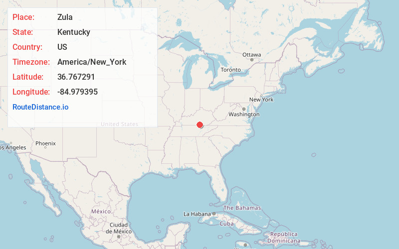
Location Information
-
Full AddressZula, KY 42633
-
Coordinates36.7672908, -84.9793946
-
LocationZula , Kentucky , US
-
TimezoneAmerica/New_York
-
Current Local Time7:05:52 PM America/New_YorkWednesday, June 18, 2025
-
Page Views0
About Zula
Zula is an unincorporated community in Wayne County, Kentucky, United States.
Nearby Places
Found 10 places within 50 miles

Wait
0.9 mi
1.4 km
Wait, KY 42603
Get directions
Susie
1.4 mi
2.3 km
Susie, KY 42633
Get directions
Windy
1.4 mi
2.3 km
Windy, KY 42633
Get directions
Alpha
1.7 mi
2.7 km
Alpha, KY 42602
Get directions
Hidalgo
2.8 mi
4.5 km
Hidalgo, KY 42633
Get directions
Ramsey Island
3.0 mi
4.8 km
Ramsey Island, KY 42633
Get directions
Shearer Valley
3.4 mi
5.5 km
Shearer Valley, KY 42633
Get directions
Nora
3.5 mi
5.6 km
Nora, KY 42602
Get directions
Narvel
3.9 mi
6.3 km
Narvel, KY 42603
Get directions
Cabell
4.7 mi
7.6 km
Cabell, KY 42633
Get directions
Location Links
Local Weather
Weather Information
Coming soon!
Location Map
Static map view of Zula, Kentucky
Browse Places by Distance
Places within specific distances from Zula
Short Distances
Long Distances
Click any distance to see all places within that range from Zula. Distances shown in miles (1 mile ≈ 1.61 kilometers).