Distance to Zyba, Kansas

Calculating Your Route
Just a moment while we process your request...
Location Information
-
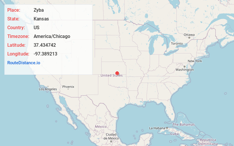
Full AddressZyba, London Township, KS 67120
-
Coordinates37.4347419, -97.3892125
-
LocationLondon Township , Kansas , US
-
TimezoneAmerica/Chicago
-
Current Local Time9:22:05 PM America/ChicagoSunday, June 22, 2025
-
Page Views0
About Zyba
Zyba is an unincorporated community in Sumner County, Kansas, United States. It is located approximately four miles southwest of the Kansas Star Casino at N West St and E 120th Ave N, next to the railroad and Ninnescah River.
Nearby Places
Found 10 places within 50 miles

Peck
3.1 mi
5.0 km
Peck, KS 67120
Get directions

Belle Plaine
6.6 mi
10.6 km
Belle Plaine, KS 67013
Get directions
Wego-Waco
6.7 mi
10.8 km
Wego-Waco, Salem Township, KS 67120
Get directions
Cicero
7.5 mi
12.1 km
Cicero, KS 67152
Get directions

Clearwater
7.6 mi
12.2 km
Clearwater, KS 67026
Get directions

Mulvane
8.4 mi
13.5 km
Mulvane, KS
Get directions

Bayneville
8.8 mi
14.2 km
Bayneville, Ohio Township, KS 67026
Get directions
Anson
9.1 mi
14.6 km
Anson, KS 67103
Get directions
Millerton
9.2 mi
14.8 km
Millerton, Illinois Township, KS 67031
Get directions

Haysville
9.2 mi
14.8 km
Haysville, KS
Get directions
Location Links
Local Weather
Weather Information
Coming soon!
Location Map
Static map view of Zyba, Kansas
Browse Places by Distance
Places within specific distances from Zyba
Short Distances
Long Distances
Click any distance to see all places within that range from Zyba. Distances shown in miles (1 mile ≈ 1.61 kilometers).