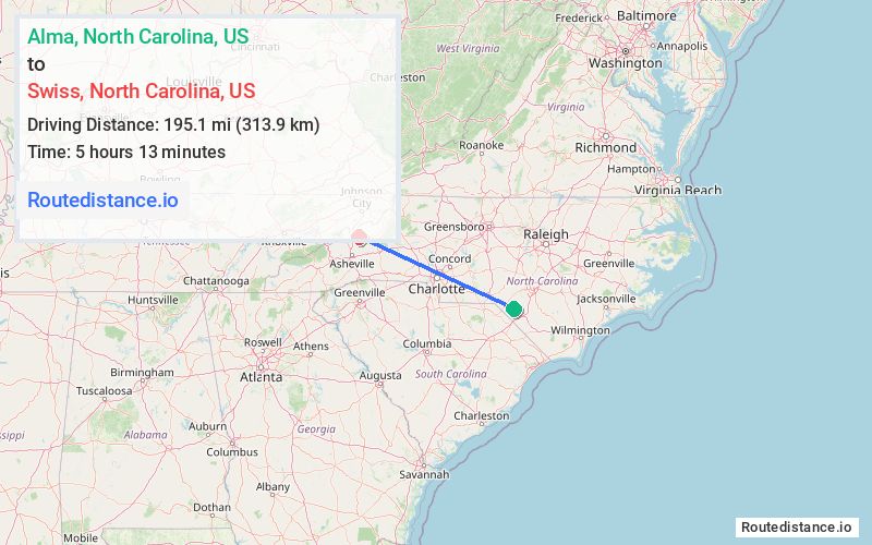
Distance from Alma, North Carolina to Swiss, North Carolina
The driving distance from Alma, North Carolina to Swiss, North Carolina is 312.3 mi (502.6 km)
The straight-line (air) distance is approximately 121.2 mi (195.1 km)
Estimated travel time by road is 4 hours 42 minutes
We found 3 routes between Alma and Swiss.
Available Routes
Route Directions
Get on I-74 E from Alma Rd and US-74 ALT W
Take I-95 S, I-20 W, I-26 W and US-23 N to US-19 N/US-23 ALT N in Madison County. Take exit 9 from I-26 W/US-19 N/US-23 N
Drive to US-19 S in Yancey County
Route Directions
Get on I-74 W/US-74 W from Alma Rd
Continue to Richmond County. Exit from US-74 W/US-74 BYP W
Continue on US-74 BYP. Take I-485/I-485 Inner, I-85 S, US-321 N, I-40 and I-26 W/US-23 N to US-19 N/US-23 ALT N in Madison County. Take exit 9 from I-26 W/US-19 N/US-23 N
Drive to US-19 S in Yancey County
Route Directions
Get on I-74 W/US-74 W from Alma Rd
Continue to Richmond County. Exit from US-74 W/US-74 BYP W
Continue on US-74 BYP. Take I-485/I-485 Inner, I-85 S, US-321 N and I-40 to NC-226 N in McDowell County. Take exit 86 from I-40
Follow US-221 N, NC-226 N and US-19E W to US-19 S in Yancey County
Journey Details
Traveling from Alma, North Carolina to Swiss, North Carolina covers 247.3 miles (398 km) in a west direction. This highway, long-distance route typically takes 4 hours 10 minutes under normal conditions.
Drivers have 3 route options between these locations (247-312 miles / 398-503 km). The primary route shown here saves 32 minutes compared to alternatives.
The route features scenic views, toll sections. During midday weekday travel, expect lighter midday traffic with average speeds around 60 mph (97 km/h) .
Journey Waypoints
Alma
Starting Point
Swiss
Destination
Route Map Image