Distance to New Salem, North Carolina

Calculating Your Route
Just a moment while we process your request...
Location Information
-
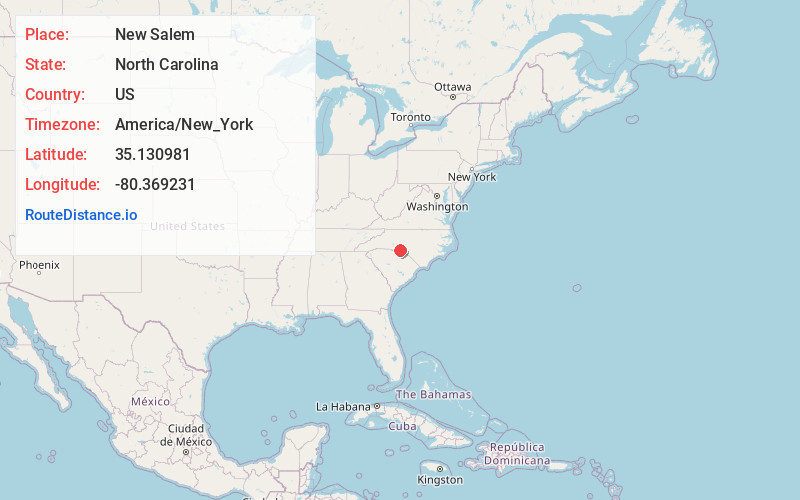
Full AddressNew Salem, NC 28103
-
Coordinates35.1309813, -80.3692306
-
LocationNew Salem , North Carolina , US
-
TimezoneAmerica/New_York
-
Current Local Time6:13:13 AM America/New_YorkWednesday, June 18, 2025
-
Page Views0
About New Salem
New Salem is an unincorporated community in Union County, North Carolina, United States. It is located northeast of Monroe, at the intersection of NC 205 and NC 218. New Salem is the home of Polk Mountain, which is the southernmost high peak of the Uwharrie Mountains at 861 feet at its peak.
Nearby Places
Found 10 places within 50 miles

Watson
5.1 mi
8.2 km
Watson, NC 28103
Get directions
Hamilton Crossroads
5.8 mi
9.3 km
Hamilton Crossroads, NC 28103
Get directions
Fountain Hill
5.9 mi
9.5 km
Fountain Hill, NC 28133
Get directions

Oakboro
6.9 mi
11.1 km
Oakboro, NC
Get directions
Stanfield
7.8 mi
12.6 km
Stanfield, NC 28163
Get directions

Unionville
8.5 mi
13.7 km
Unionville, NC 28110
Get directions

Locust
9.5 mi
15.3 km
Locust, NC
Get directions
Red Cross
9.5 mi
15.3 km
Red Cross, NC
Get directions
Bentons Crossroads
9.6 mi
15.4 km
Bentons Crossroads, Unionville, NC 28110
Get directions
Kikers
9.7 mi
15.6 km
Kikers, NC 28135
Get directions
Location Links
Local Weather
Weather Information
Coming soon!
Location Map
Static map view of New Salem, North Carolina
Browse Places by Distance
Places within specific distances from New Salem
Short Distances
Long Distances
Click any distance to see all places within that range from New Salem. Distances shown in miles (1 mile ≈ 1.61 kilometers).