Distance to and from Unionville, North Carolina
Unionville, NC 28110
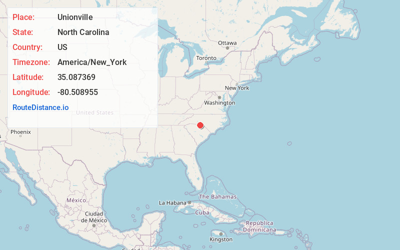
Unionville
North Carolina
US
America/New_York
Location Information
-
Full AddressUnionville, NC 28110
-
Coordinates35.0873694, -80.5089552
-
LocationUnionville , North Carolina , US
-
TimezoneAmerica/New_York
-
Current Local Time5:39:48 PM America/New_YorkSaturday, May 3, 2025
-
Website
-
Page Views0
Directions to Nearest Cities
About Unionville
Unionville is a rural town in Union County, North Carolina, United States. The population was 6,643 at the 2020 census.

Nearby Places
Found 10 places within 50 miles

Monroe
7.4 mi
11.9 km
Monroe, NC
Get directions

Indian Trail
9.1 mi
14.6 km
Indian Trail, NC
Get directions

Stallings
10.0 mi
16.1 km
Stallings, NC
Get directions

Mint Hill
10.3 mi
16.6 km
Mint Hill, NC
Get directions

Wesley Chapel
10.9 mi
17.5 km
Wesley Chapel, NC
Get directions

Matthews
12.3 mi
19.8 km
Matthews, NC
Get directions

Weddington
14.9 mi
24.0 km
Weddington, NC
Get directions

Waxhaw
17.4 mi
28.0 km
Waxhaw, NC 28173
Get directions

Harrisburg
18.3 mi
29.5 km
Harrisburg, NC
Get directions

Charlotte
20.9 mi
33.6 km
Charlotte, NC
Get directions
Monroe
7.4 mi
11.9 km
Monroe, NC
Indian Trail
9.1 mi
14.6 km
Indian Trail, NC
Stallings
10.0 mi
16.1 km
Stallings, NC
Mint Hill
10.3 mi
16.6 km
Mint Hill, NC
Wesley Chapel
10.9 mi
17.5 km
Wesley Chapel, NC
Matthews
12.3 mi
19.8 km
Matthews, NC
Weddington
14.9 mi
24.0 km
Weddington, NC
Waxhaw
17.4 mi
28.0 km
Waxhaw, NC 28173
Harrisburg
18.3 mi
29.5 km
Harrisburg, NC
Charlotte
20.9 mi
33.6 km
Charlotte, NC
Location Links
Local Weather
Weather Information
Coming soon!
Location Map
Static map view of Unionville, North Carolina
Browse Places by Distance
Places within specific distances from Unionville
Short Distances
Long Distances
Click any distance to see all places within that range from Unionville. Distances shown in miles (1 mile ≈ 1.61 kilometers).