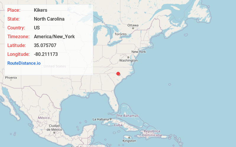
Distance to and from Kikers, North Carolina
Kikers, NC 28135
North Carolina
US
America/New_York
Location Information
-
Full AddressKikers, NC 28135
-
Coordinates35.0757074, -80.2111725
-
LocationNorth Carolina , US
-
TimezoneAmerica/New_York
-
Current Local Time5:00:33 PM America/New_YorkSaturday, May 3, 2025
-
Page Views0
Directions to Nearest Cities
Nearby Places
Found 10 places within 50 miles

Sugar Town
2.1 mi
3.4 km
Sugar Town, NC 28135
Get directions
Fountain Hill
4.4 mi
7.1 km
Fountain Hill, NC 28133
Get directions

Polkton
4.7 mi
7.6 km
Polkton, NC 28135
Get directions

Ansonville
6.1 mi
9.8 km
Ansonville, NC 28170
Get directions

Peachland
6.4 mi
10.3 km
Peachland, NC 28133
Get directions
Cedar Hill
7.0 mi
11.3 km
Cedar Hill, NC 28170
Get directions
Hamilton Crossroads
7.8 mi
12.6 km
Hamilton Crossroads, NC 28103
Get directions
Pinkston
8.6 mi
13.8 km
Pinkston, NC 28170
Get directions

Wadesboro
10.6 mi
17.1 km
Wadesboro, NC
Get directions

Marshville
10.7 mi
17.2 km
Marshville, NC
Get directions
Sugar Town
2.1 mi
3.4 km
Sugar Town, NC 28135
Fountain Hill
4.4 mi
7.1 km
Fountain Hill, NC 28133
Polkton
4.7 mi
7.6 km
Polkton, NC 28135
Ansonville
6.1 mi
9.8 km
Ansonville, NC 28170
Peachland
6.4 mi
10.3 km
Peachland, NC 28133
Cedar Hill
7.0 mi
11.3 km
Cedar Hill, NC 28170
Hamilton Crossroads
7.8 mi
12.6 km
Hamilton Crossroads, NC 28103
Pinkston
8.6 mi
13.8 km
Pinkston, NC 28170
Wadesboro
10.6 mi
17.1 km
Wadesboro, NC
Marshville
10.7 mi
17.2 km
Marshville, NC
Location Links
Local Weather
Weather Information
Coming soon!
Location Map
Static map view of Kikers, North Carolina
Browse Places by Distance
Places within specific distances from Kikers
Short Distances
Long Distances
Click any distance to see all places within that range from Kikers. Distances shown in miles (1 mile ≈ 1.61 kilometers).