Distance to Cedar Hill, North Carolina

Calculating Your Route
Just a moment while we process your request...
Location Information
-
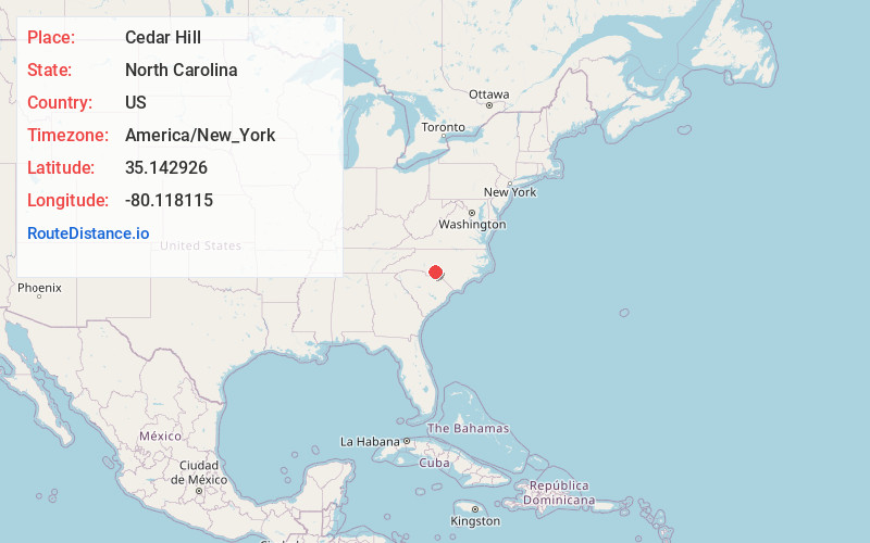
Full AddressCedar Hill, NC 28170
-
Coordinates35.1429262, -80.1181147
-
LocationCedar Hill , North Carolina , US
-
TimezoneAmerica/New_York
-
Current Local Time4:58:42 PM America/New_YorkSaturday, June 7, 2025
-
Page Views0
Nearby Places
Found 10 places within 50 miles

Ansonville
2.7 mi
4.3 km
Ansonville, NC 28170
Get directions

Norwood
5.3 mi
8.5 km
Norwood, NC 28128
Get directions

Mt Gilead
8.2 mi
13.2 km
Mt Gilead, NC 27306
Get directions

Pinkston
9.0 mi
14.5 km
Pinkston, NC 28170
Get directions

Polkton
10.5 mi
16.9 km
Polkton, NC 28135
Get directions
Fountain Hill
10.6 mi
17.1 km
Fountain Hill, NC 28133
Get directions
River Haven
12.1 mi
19.5 km
River Haven, NC 28001
Get directions

Wadesboro
12.3 mi
19.8 km
Wadesboro, NC
Get directions

Oakboro
13.2 mi
21.2 km
Oakboro, NC
Get directions

Peachland
13.2 mi
21.2 km
Peachland, NC 28133
Get directions
Location Links
Local Weather
Weather Information
Coming soon!
Location Map
Static map view of Cedar Hill, North Carolina
Browse Places by Distance
Places within specific distances from Cedar Hill
Short Distances
Long Distances
Click any distance to see all places within that range from Cedar Hill. Distances shown in miles (1 mile ≈ 1.61 kilometers).