Distance to Wadesboro, North Carolina

Calculating Your Route
Just a moment while we process your request...
Location Information
-
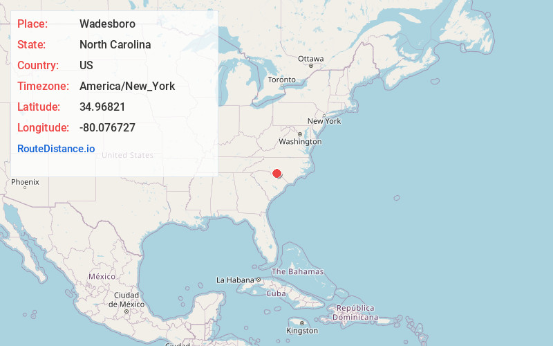
Full AddressWadesboro, NC
-
Coordinates34.9682097, -80.0767266
-
LocationWadesboro , North Carolina , US
-
TimezoneAmerica/New_York
-
Current Local Time7:03:01 PM America/New_YorkTuesday, June 17, 2025
-
Website
-
Page Views0
About Wadesboro
Wadesboro is a town and the county seat of Anson County, North Carolina, United States. The population was 5,008 at the 2020 census.


Nearby Places
Found 10 places within 50 miles

Rockingham
17.3 mi
27.8 km
Rockingham, NC 28379
Get directions

Cheraw
21.7 mi
34.9 km
Cheraw, SC 29520
Get directions

Hamlet
22.4 mi
36.0 km
Hamlet, NC 28345
Get directions

Unionville
25.8 mi
41.5 km
Unionville, NC 28110
Get directions

Monroe
26.8 mi
43.1 km
Monroe, NC
Get directions

Albemarle
27.3 mi
43.9 km
Albemarle, NC
Get directions

Bennettsville
32.9 mi
52.9 km
Bennettsville, SC 29512
Get directions

Wesley Chapel
33.9 mi
54.6 km
Wesley Chapel, NC
Get directions

Indian Trail
34.4 mi
55.4 km
Indian Trail, NC
Get directions

Stallings
35.5 mi
57.1 km
Stallings, NC
Get directions
Location Links
Local Weather
Weather Information
Coming soon!
Location Map
Static map view of Wadesboro, North Carolina
Browse Places by Distance
Places within specific distances from Wadesboro
Short Distances
Long Distances
Click any distance to see all places within that range from Wadesboro. Distances shown in miles (1 mile ≈ 1.61 kilometers).