Distance to Bennettsville, South Carolina

Calculating Your Route
Just a moment while we process your request...
Location Information
-
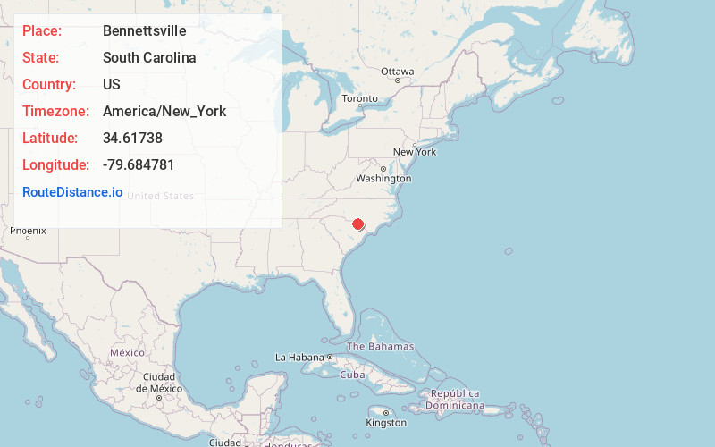
Full AddressBennettsville, SC 29512
-
Coordinates34.6173803, -79.6847814
-
LocationBennettsville , South Carolina , US
-
TimezoneAmerica/New_York
-
Current Local Time1:35:53 AM America/New_YorkSaturday, June 21, 2025
-
Website
-
Page Views0
About Bennettsville
Bennettsville is a city located in the U.S. state of South Carolina on the Great Pee Dee River. As the county seat of Marlboro County, Bennettsville is noted for its historic homes and buildings from ...


Nearby Places
Found 9 places within 50 miles

Laurinburg
16.6 mi
26.7 km
Laurinburg, NC 28352
Get directions

Rockingham
22.8 mi
36.7 km
Rockingham, NC 28379
Get directions

Hartsville
27.8 mi
44.7 km
Hartsville, SC 29550
Get directions

Florence
29.4 mi
47.3 km
Florence, SC
Get directions

Aberdeen
38.4 mi
61.8 km
Aberdeen, NC
Get directions

Lumberton
38.4 mi
61.8 km
Lumberton, NC
Get directions

Pinehurst
41.8 mi
67.3 km
Pinehurst, NC
Get directions

Southern Pines
41.9 mi
67.4 km
Southern Pines, NC
Get directions

Hope Mills
48.5 mi
78.1 km
Hope Mills, NC
Get directions
Location Links
Local Weather
Weather Information
Coming soon!
Location Map
Static map view of Bennettsville, South Carolina
Browse Places by Distance
Places within specific distances from Bennettsville
Short Distances
Long Distances
Click any distance to see all places within that range from Bennettsville. Distances shown in miles (1 mile ≈ 1.61 kilometers).