Distance to Mt Gilead, North Carolina

Calculating Your Route
Just a moment while we process your request...
Location Information
-
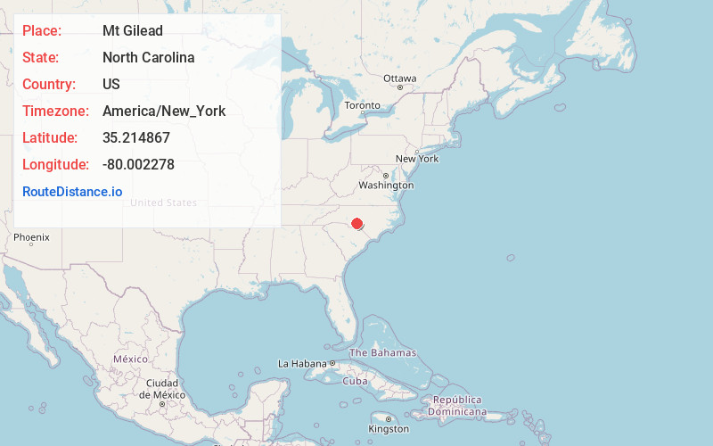
Full AddressMt Gilead, NC 27306
-
Coordinates35.2148671, -80.0022784
-
LocationMt Gilead , North Carolina , US
-
TimezoneAmerica/New_York
-
Current Local Time5:18:25 AM America/New_YorkWednesday, June 18, 2025
-
Website
-
Page Views0
About Mt Gilead
Mount Gilead is a town in Montgomery County, in the Piedmont region of North Carolina, United States. The population was 1,171 at the 2020 census.


Nearby Places
Found 10 places within 50 miles

Norwood
6.6 mi
10.6 km
Norwood, NC 28128
Get directions

Troy
11.6 mi
18.7 km
Troy, NC 27371
Get directions

Albemarle
14.6 mi
23.5 km
Albemarle, NC
Get directions

Badin
14.6 mi
23.5 km
Badin, NC
Get directions

Candor
15.5 mi
24.9 km
Candor, NC
Get directions

Biscoe
16.1 mi
25.9 km
Biscoe, NC 27209
Get directions

Ellerbe
16.8 mi
27.0 km
Ellerbe, NC
Get directions

Wadesboro
17.6 mi
28.3 km
Wadesboro, NC
Get directions

Star
17.8 mi
28.6 km
Star, NC 27356
Get directions

Polkton
18.2 mi
29.3 km
Polkton, NC 28135
Get directions
Location Links
Local Weather
Weather Information
Coming soon!
Location Map
Static map view of Mt Gilead, North Carolina
Browse Places by Distance
Places within specific distances from Mt Gilead
Short Distances
Long Distances
Click any distance to see all places within that range from Mt Gilead. Distances shown in miles (1 mile ≈ 1.61 kilometers).