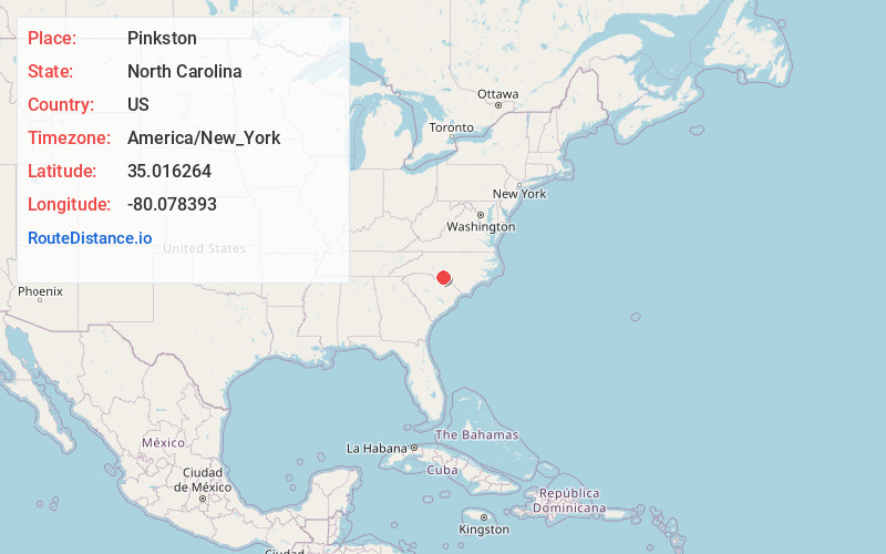
Distance to Pinkston, North Carolina

Calculating Your Route
Just a moment while we process your request...
Location Information
-
Full AddressPinkston, NC 28170
-
Coordinates35.0162643, -80.0783927
-
LocationNorth Carolina , US
-
TimezoneAmerica/New_York
-
Current Local Time8:42:46 AM America/New_YorkSunday, June 22, 2025
-
Page Views0
Nearby Places
Found 10 places within 50 miles

Wadesboro
3.3 mi
5.3 km
Wadesboro, NC
Get directions

Lilesville
6.3 mi
10.1 km
Lilesville, NC 28091
Get directions

Ansonville
6.3 mi
10.1 km
Ansonville, NC 28170
Get directions

Polkton
7.0 mi
11.3 km
Polkton, NC 28135
Get directions

Peachland
10.6 mi
17.1 km
Peachland, NC 28133
Get directions

Morven
11.4 mi
18.3 km
Morven, NC 28119
Get directions

Fountain Hill
12.6 mi
20.3 km
Fountain Hill, NC 28133
Get directions

Norwood
14.2 mi
22.9 km
Norwood, NC 28128
Get directions

Mt Gilead
14.4 mi
23.2 km
Mt Gilead, NC 27306
Get directions
Hamilton Crossroads
15.2 mi
24.5 km
Hamilton Crossroads, NC 28103
Get directions
Location Links
Local Weather
Weather Information
Coming soon!
Location Map
Static map view of Pinkston, North Carolina
Browse Places by Distance
Places within specific distances from Pinkston
Short Distances
Long Distances
Click any distance to see all places within that range from Pinkston. Distances shown in miles (1 mile ≈ 1.61 kilometers).